


“USA 🇺🇸 ~Road Trip’n to Hilo and Volcano National Park of Hawaii”
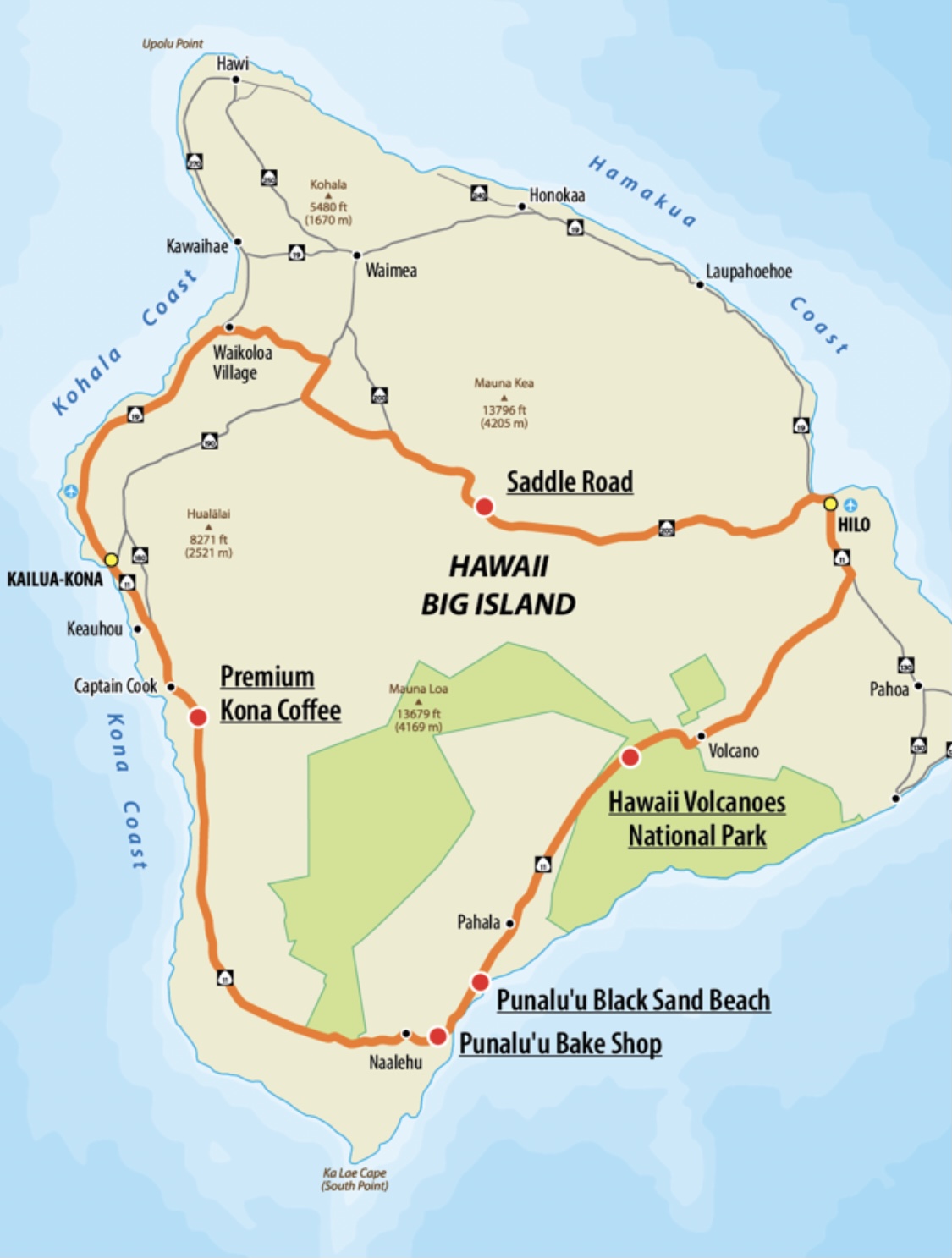
 Our next big road trip day was to visit Hilo, the capital of Hawaii (The Big Island) and then drive into the Volcano Nation Park, south of Hilo, where we’re drove the Volcano Rim. (recommend ~See photos below).
******
To some, this side of the island, after our Hilo visit, May no longer taking in the views of the lush green tropical landscape that the Hawaii Chain of Islands are mostly known for. BUT, this is the landscape which has been created by all the volcanic eruptions. In fact, this whole and newest Island was created by literally rising, directly from out of the ocean floor, to become this giant land mass.
Daryl and I are both fascinated with the history and geology of how this Island came to be.
The Hawaiian Islands were formed by such a hot spot occurring in the middle of the Pacific Plate. While the hot spot itself is fixed, the plate is moving. So, as the plate moved over the hot spot, the string of islands that make up the Hawaiian Island chain were formed.

 In my experience with Hawaii Island visits: Oahu has the history, but is the most touristy (think Waikiki Beach), but it is where I experienced my first fabulous **Lu’au, which I still have treasured memories about. Maui was great for Scuba Diving, snorkeling with wild turtles, learning to Surf, and taking in the North Shore scenic drive.
**A lūʻau is a traditional Hawaiian party or feast that is usually accompanied by entertainment. It may feature food such as poi, kālua puaʻa, poke, lomi salmon, ʻopihi, and haupia, and entertainment; such as traditional Hawaiian music and hula.
All of the above mentioned islands, though touristy and popular, in my opinion, are worth the visit.
Now, the Big Island is the best kept secret of all of the islands, in my opinion. It is not touristy, and of all the islands, this has the most luxurious, high-end resorts, as well as the ritziest personal properties, owned by the rich and famous. It’s all about the space and location for privacy, which Hawaii offers, here.
******
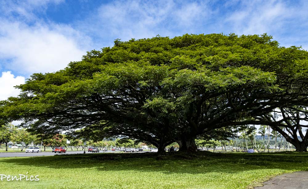
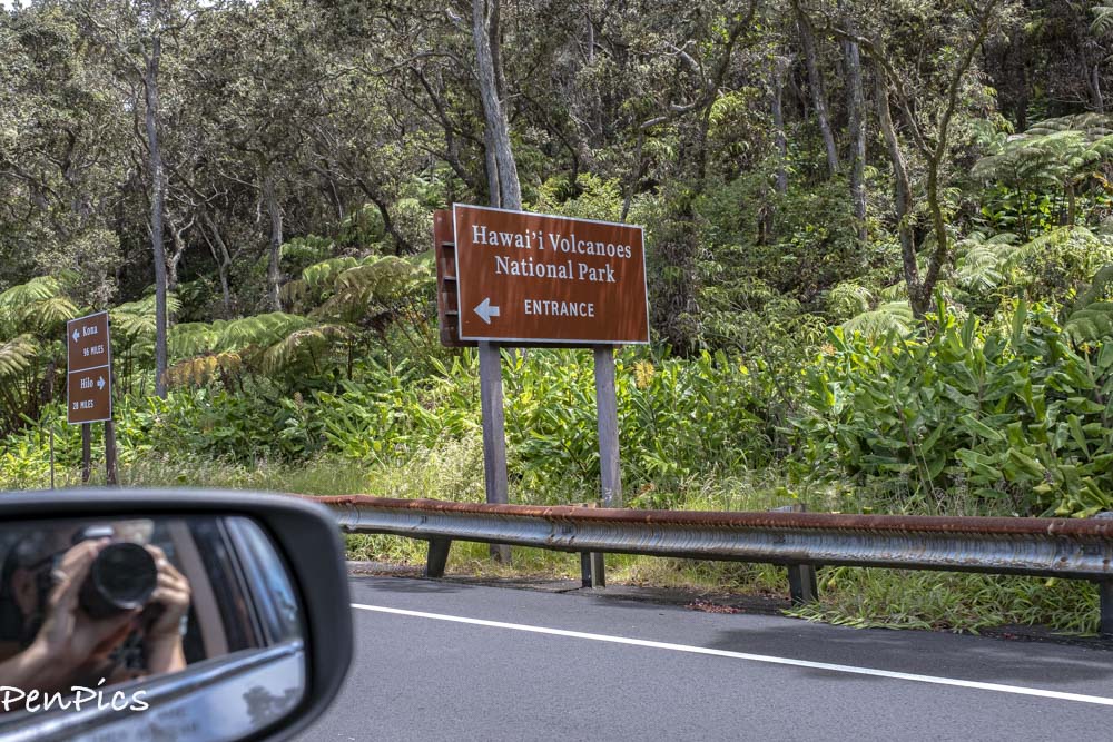
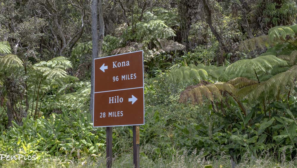
HILO ⬇️
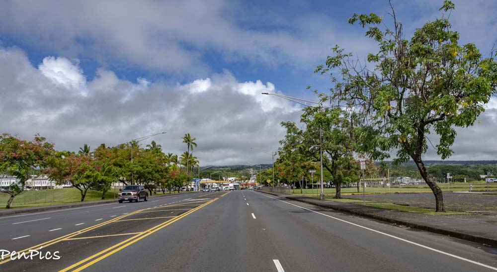
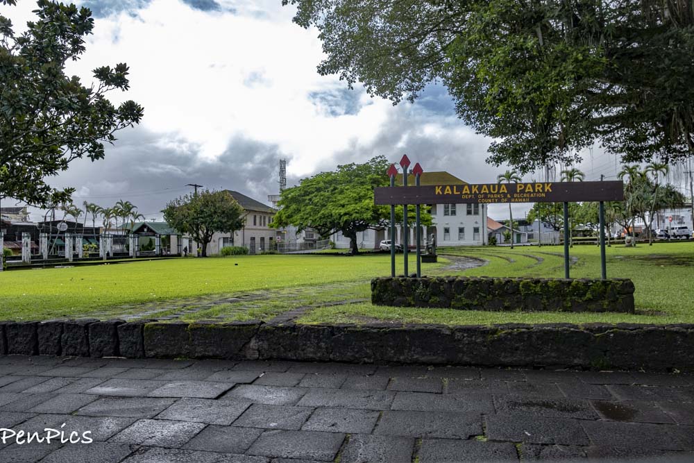
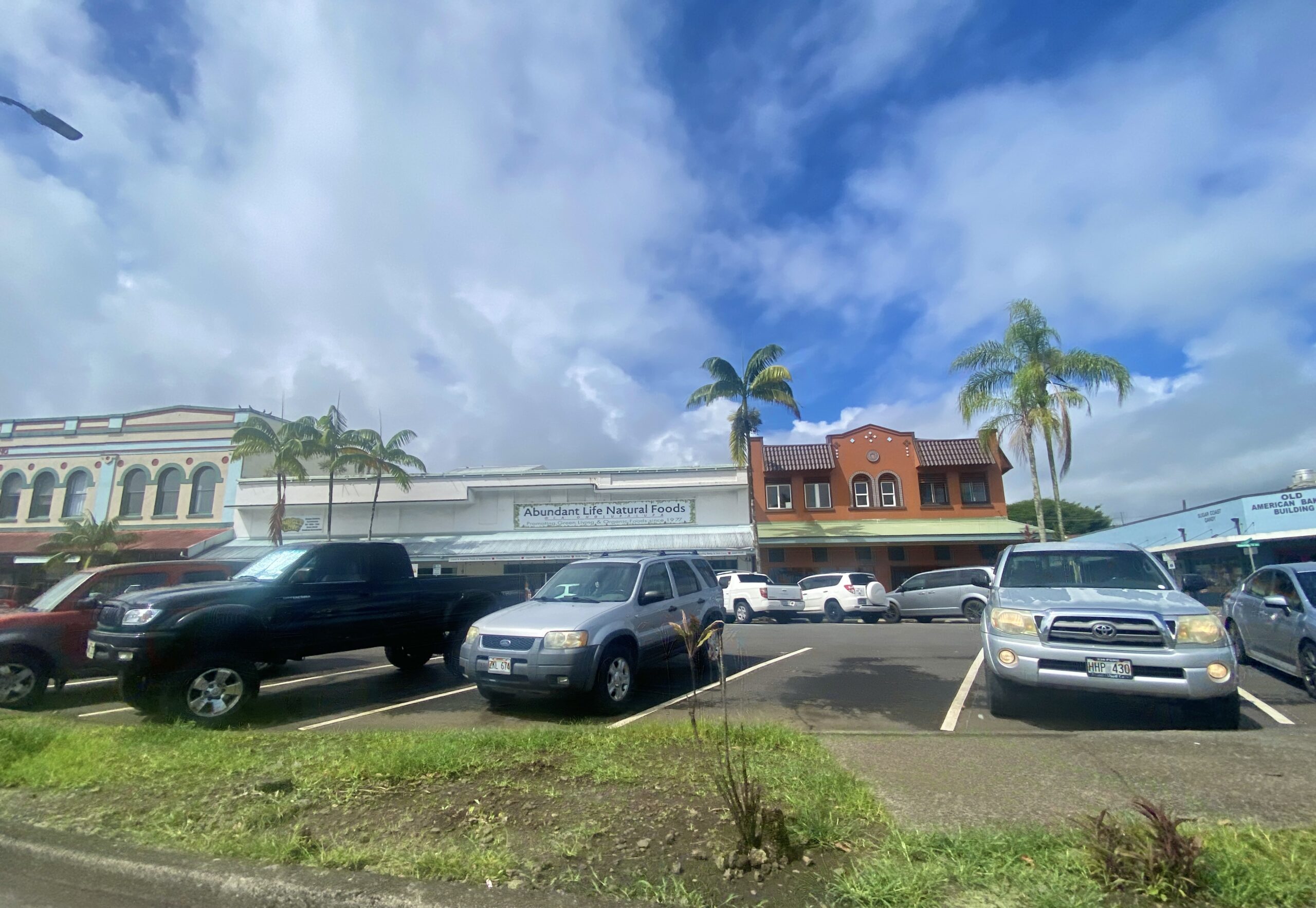
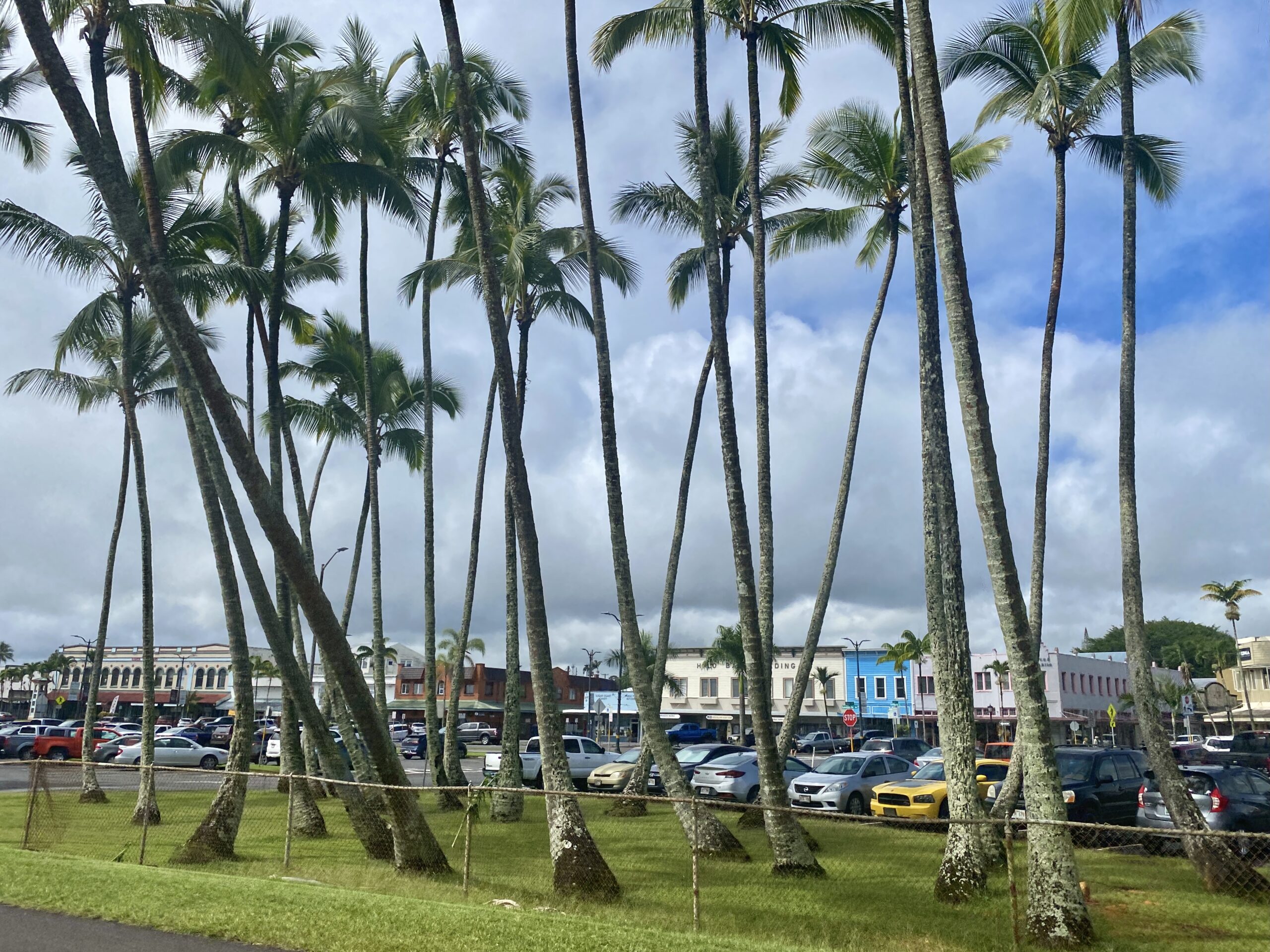 Hilo is a town on Hawaii, commonly called the Big Island, in the state of Hawaii. To the south, is Hawaii Volcanoes National Park, home to rainforests and the active Kilauea and Mauna Loa volcanoes.
 Hilo is the capital of the Big Island and lies on the windward (East) side of the Island. This is the rainy side on all Hawaiian islands and rainfall here averages 140 inches annually. This makes the Hilo district tropical and lush, and fills the surrounding (rain)forests with colorful flowers and waterfalls. (Waterfalls coming in next blog on our amazing Helicopter Tour)
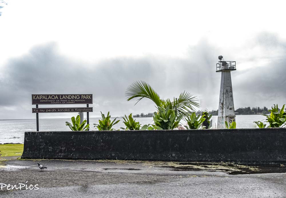
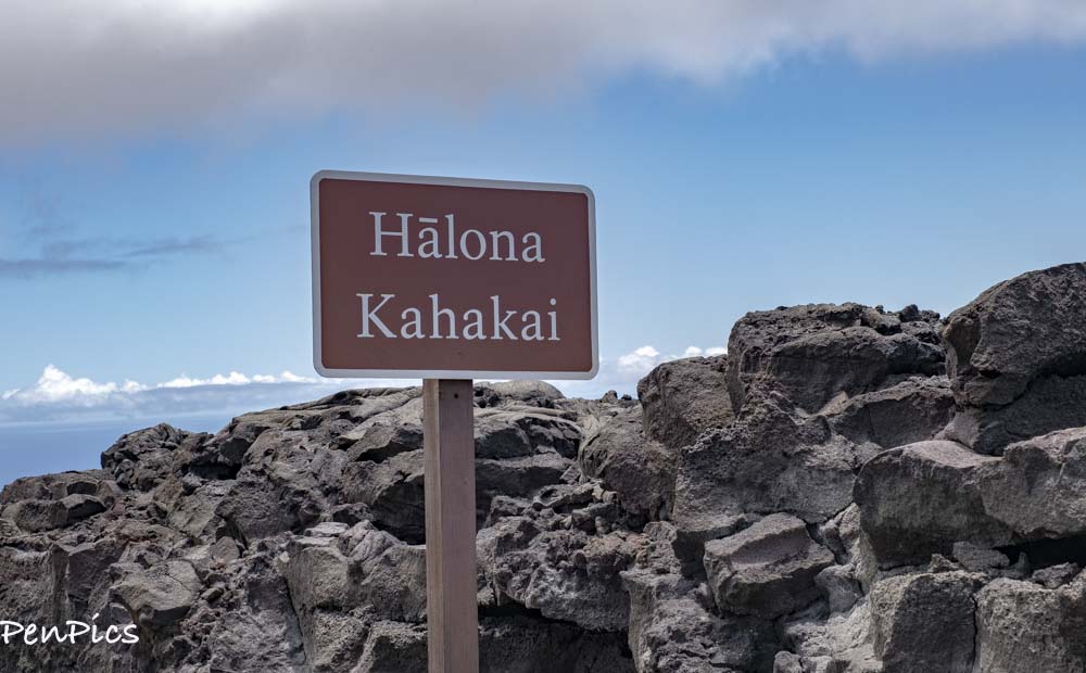
⬆️ Kaipalaoa landing is truly a wahi pana, or “legendary place in Hilo.”
A Hawaiian Historic Site
Before Kamehameha I realized his dream to rule all of the Hawaiian Islands, he camped near the mouth of the Wailuku River at an area called Kaipalaoa. He told his servants to stand watch over his canoe, so it would not be carried away by the tide or stolen, while he went alone to visit a special friend who lived on what is now known as Reed Island. As time passed, Kamehameha’s men became worried for his safety, but they dared not leave the canoe unattended. One of the men taught the others to make a ti-lead rope by twisting the leafs together. Such twisting is called “hilo.” They took this rope and tied the canoe and set out to look for Kamehameha. A short way up the river, they met Kamehameha, unharmed. At first, angered that his men did not keep their promise to watch the canoe, Kamehameha was surprised that they knew how to make such a rope that only people from Waipi’o knew how to do. The man who had taught the other said he came from Waipi’o.
Kamehameha declared that this place be called “Hilo,” meaning to twist.
This is the story of how Hilo received its name, at Kaipalaoa.
Law of the Splintered Paddle As he prepared to unite the islands of Hawaii, Kamehameha I would conduct shoreline raids on the neighboring ahupua’a (traditional land divisions). It was on one such incursion that the King’s warriors encountered two local fishermen along the Puna Coast. The two fled to warn others of the pending attack and Kamehameha I and his men took chase. While they crossed the lava field, the King’s foot got caught in a crevice and became stuck.
The fishermen, seizing the opportunity to retaliate, returned and attacked. In the ensuing brawl, one of the King’s steersmen was killed and Kamehameha I, himself received a blow to the head that was so hard that it splintered the man’s weapon; a solid koa canoe paddle.
The two Puna fishermen escaped, as
Kamehameha I opted not to retaliate, but instead took this as a divine lesson: the strong must not mistreat the weak, and his people must be assured protection from harm’s way in their pursuits, and that safe passage must be everyone’s entitlement.
A decade later, King Kamehameha I the Great, upon reflecting on his deliverance that day in Puna, and on the memory of his fallen steersman, proclaimed Ke Kanawai Mamalahoe; “The Law of the Splintered Paddle” at Kahale’iole in the Kaipalaoa area of Hilo.
Surf Fit for a King
One reason early Hawaiians were drawn to Hilo was its excellent surf. From Pu’u’eo to Waiakea, in Hilo Bay, there were at least eight different surf breakers, which are known of today.
In ancient times, Hilo was noted in chants and legends as a premier surfing area. Kamehameha I often came to surf at Kaipalaoa, located off the mouth of the Wailuku River at the foot of what is now Waianuenue Avenue.
 *****
*****
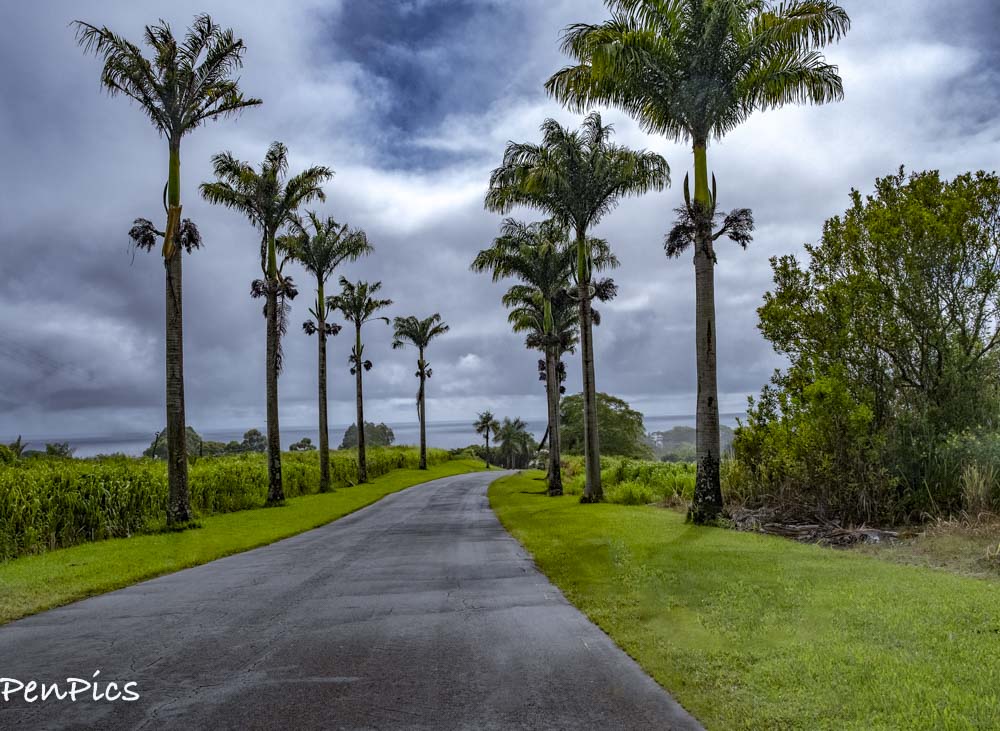
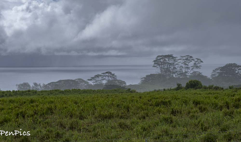
On the way to Hilo ⬇️
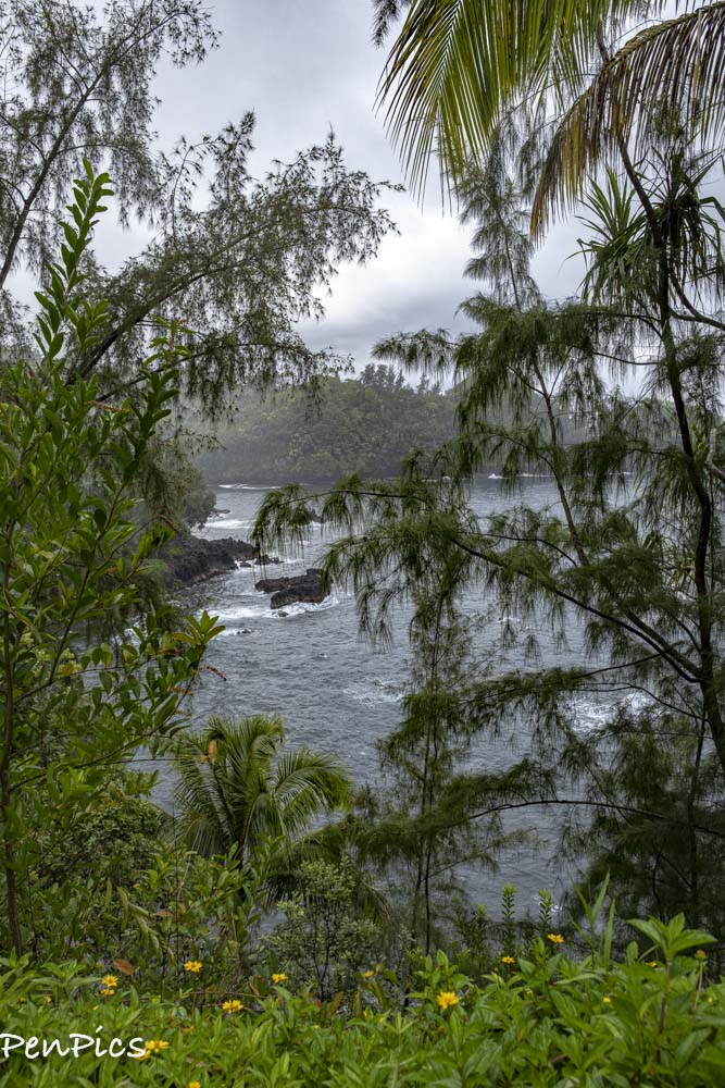
⬆️ We took a 4-mile scenic drive, on the way to Hilo. We thought it would be more ocean view, but it was mostly jungle view. Opening up the window down to take photos brought 100 mosquitoes into the car!
The weather was humid and raining at the same time.
SCENIC
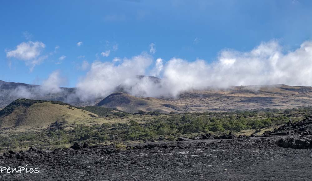 Just starting out, driving from Kona, looking up at the Volcano Region ⬆️⬇️
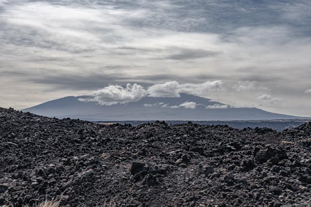 ⬆️ Mauna Kea; abbreviation for Mauna a Wākea is a dormant volcano on the island of Hawaii. Its peak is over 14,000 feet above sea level, making it the highest point in the state of Hawaii and second-highest peak of an island on Earth.
 Goats are not a native species to the Hawaiian islands and were introduced to the island by Captain James Cook in 1778, according to historical records.
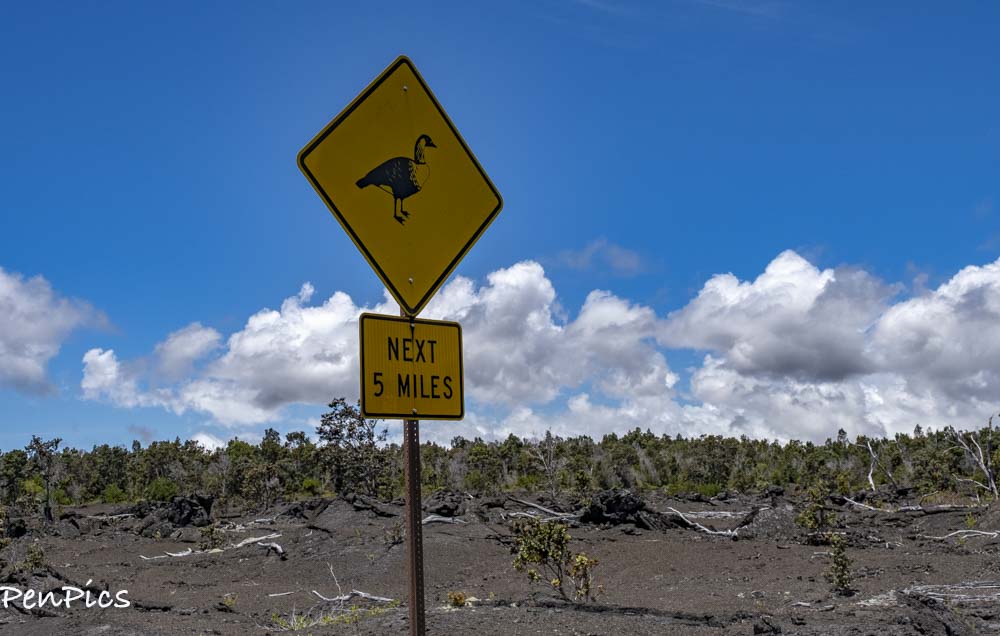
As the population grew, instances of feral goats began to emerge. As an herbivore, the goats are broadly harmful to the Hawaiian ecosystem. These wild goats can be seen many places on the island.
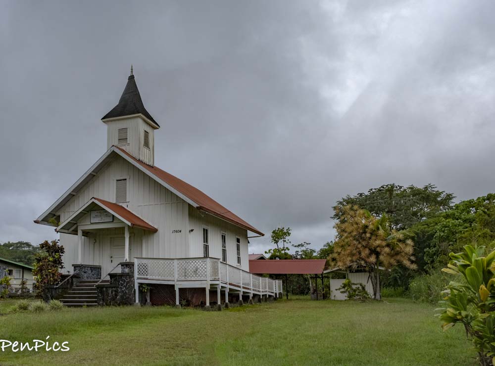
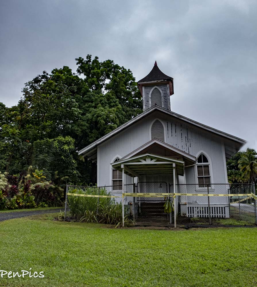 Not sure why the crime tape is around the church 🧐
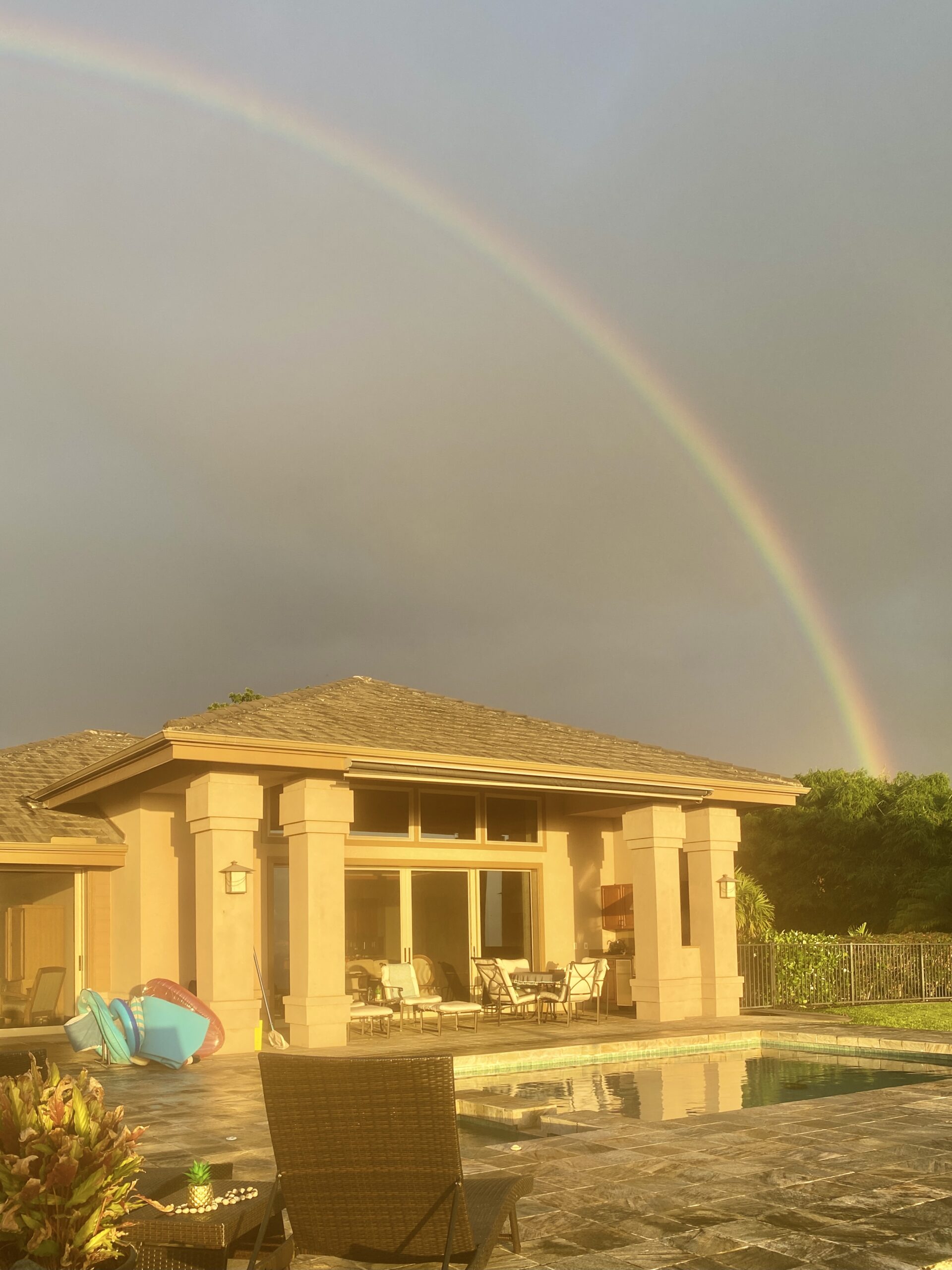
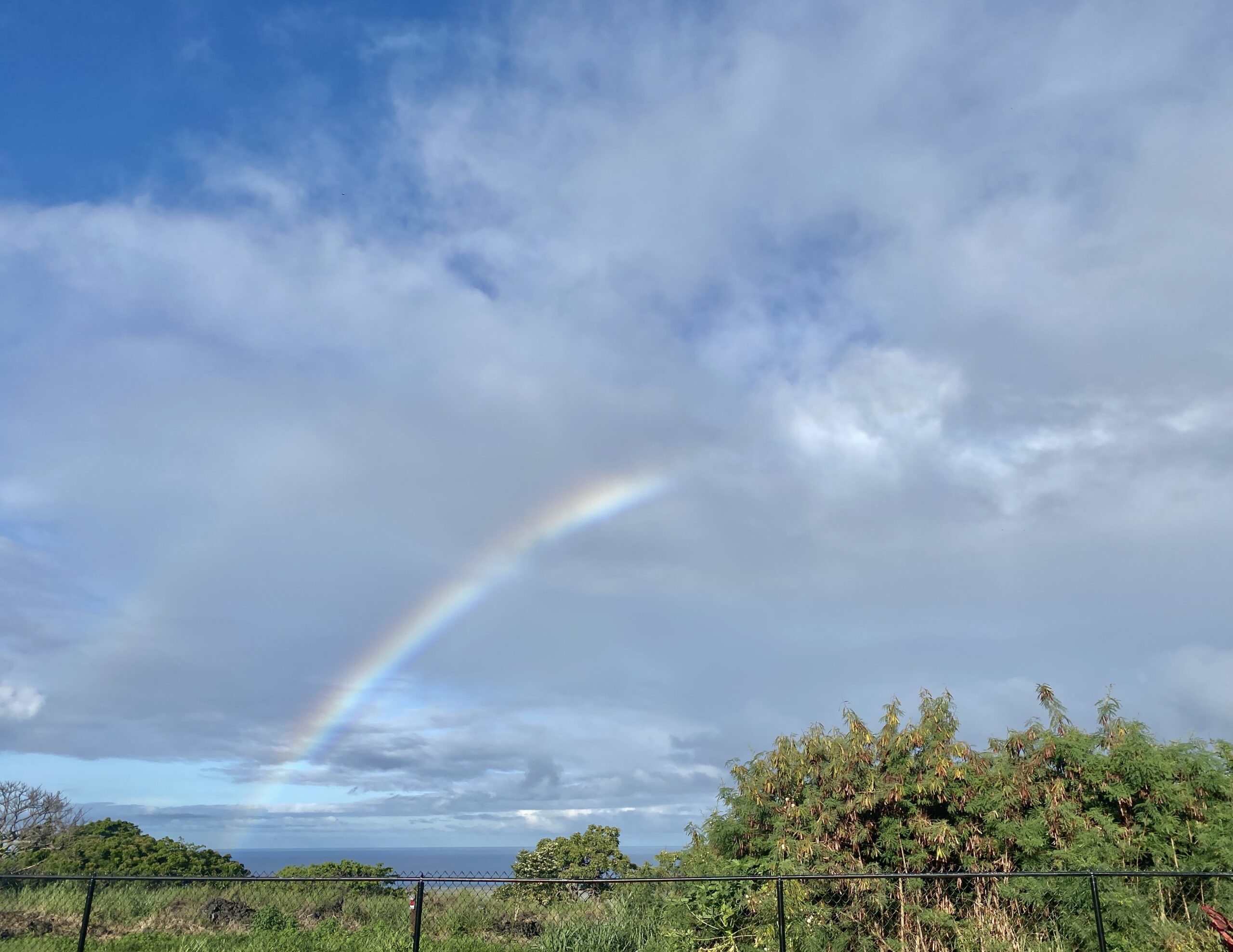 🎵 “Somewhere, over the rainbow” 🎼 🌈
******
By this road trip day, we had already planned on taking the Helicopter Tour over the whole Island, but we still wanted to experience the Volcanic Region by car. No matter the weather on this rainy side of the island, driving can still be done. But, for safety reasons, Helicopters can’t always get to the highest and biggest volcano in rainy and cloudy weather.
 Hawaii Volcanoes National Park encompasses 335,259 acres, or about 523 square miles from the summit of Maunaloa to the sea.
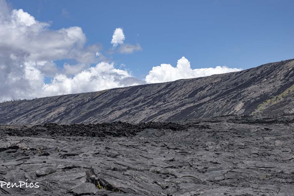
There are 150 miles of hiking trails through volcanic craters, scalded deserts and rainforests, as well as a visitor center, petroglyphs and two active volcanoes: Maunaloa, which last erupted in 1984 and and Kilauea which last erupted in 2018 (1983-2018).
Kilauea is often called “the world’s only drive-in volcano.” At one time, this prolific volcano produced 250,000-650,00 cubic yards of lava per day. That’s enough lava to resurface a 20-mile-long, two-lane road; each day.
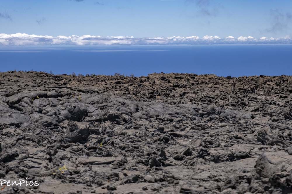
As of January 1983, more than 875 acres of new land has been created on the island of Hawaii, as a result of the lava flow becoming solid.
The extraordinary natural diversity of the park was recognized in 1980 when it was named a World Biosphere Site by UNESCO and in 1987 when the park was honored as a World Heritage Site.
 Mauna Loa has erupted 15 times in the past 120 years on Big Island. Scientists say that this volcano is due for an eruption. This is the world’s largest volcano in terms of total mass, but it is not the tallest volcano
******
Mauna Kea is the tallest volcano in the world when it is measured from the ocean’s floor to its peak on the Big Island. It is currently dormant but scientists believe that it will erupt again in the future. The last time this volcano erupted was over 4,000 years ago.
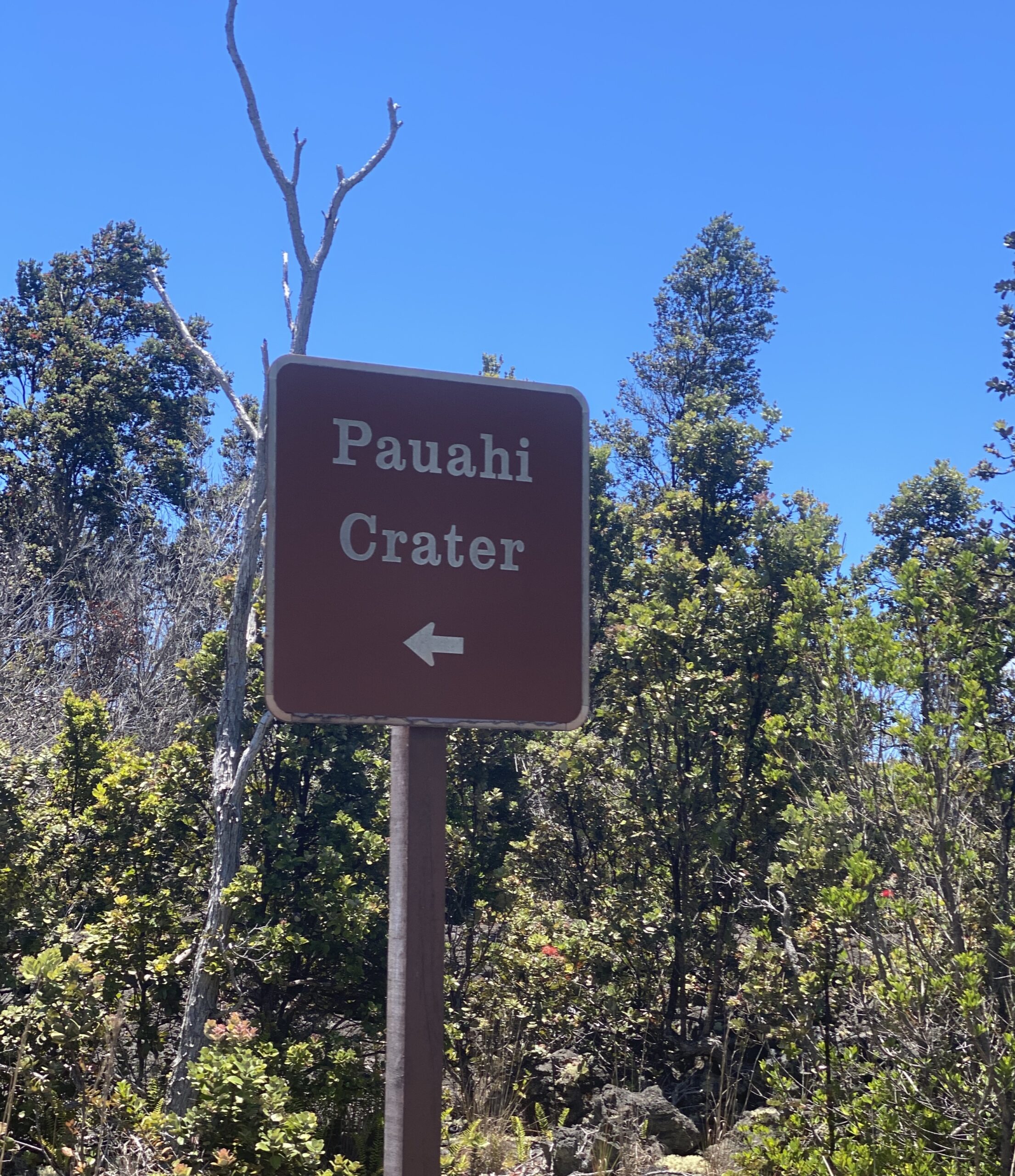
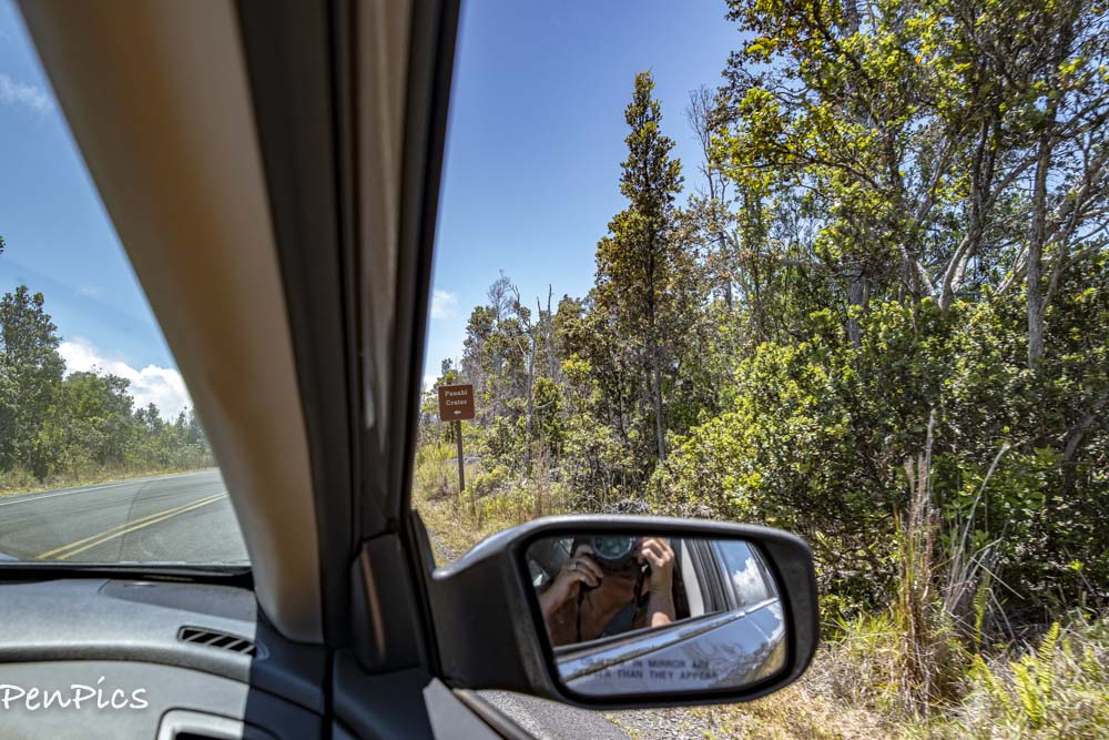
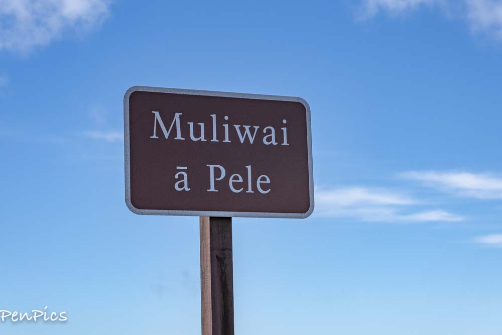
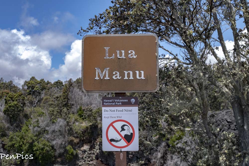
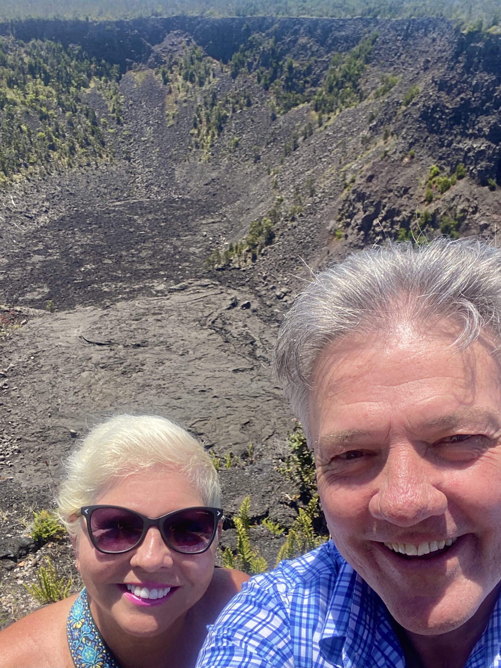 ⬆️ Pauahi Crater ⬇️

 ******
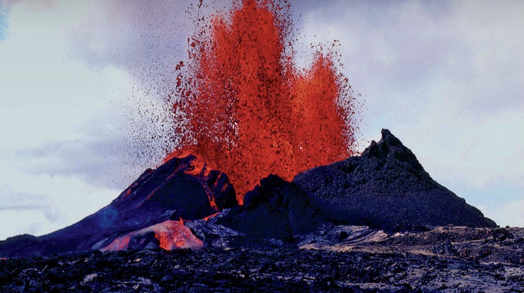 (Not my photo)
⬆️⬇️ Kīlauea erupted nearly continuously from 1983 to 2018, causing considerable property damage, including the destruction of the towns of Kalapana and Kaimu, along with the renowned black sand beach, in 1990.
During the 2018 lower Puna eruption, two dozen lava vents erupted downrift from the summit in Puna. The eruption was accompanied by a strong earthquake on May 4th of 6.9, and nearly 2,000 residents were evacuated from the rural Leilana Estates subdivision and nearby areas.
On May 17, 2018, the volcano explosively erupted at the summit in Halema’uma’u, throwing ash 30,000 feet into the air. Continued explosive activity at the summit caused a months-long closure of the Kīlauea section of Hawaii Volcano National Park. Vigorous eruptive lava fountains in lower Puma, sent destructive rivers of molten rock into the ocean in three places. The lava destroyed Hawaii’s largest fresh water lake, covered substantial portions of Leilani Estates, Lanipuna Gardens, and completely inundated the communities of Kapoho, Vacationland Hawaii and most of the Kapoho Beach Lots. Lava also filled Kapoho Bay and extended new land, by nearly a mile into the sea.
The County of Hawaii reported that 716 dwellings were destroyed by lava. By early August the eruption subsided substantially, and the last active lava was reported at the surface on September 4, 2018.
On December 5, 2018, after 90 days of inactivity from the volcano, the eruption that began in 1983 was declared to have ended.
On December 20, 2020, an eruption broke out in Halemaʻumaʻu, with the lava boiling off a water lake that had been growing for more than a year and replacing it with a lava lake. The lava lake reached a depth of 590 feet by late December; however, eruptive activity steadily decreased in 2021, with the lava depth increasing only slightly to 738 feet by April 2021.
On May 26, 2021, the Hawaiian Volcano Observatory announced that Kīlauea was no longer erupting. Lava supply to the lava lake appeared to have ceased between May 11 and May 13, and the lava lake had completely crusted over by May 20.
The last surface activity in Halemaʻumaʻu was observed on May 23.
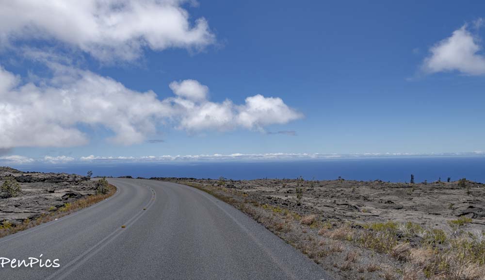
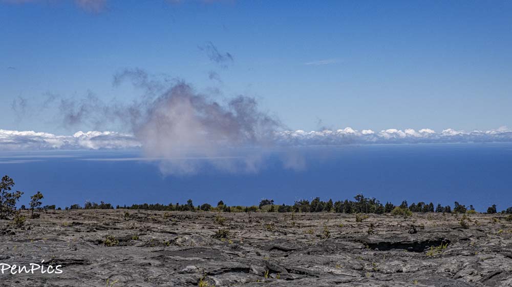 The Rim Drive is a 10.6-mile car drive that circles the Kilauea Caldera. Driving around this loop will take you to the park’s main attractions: the Puu Puai Overlook, Devastation Trail and Kilauea Iki Crater Overlook.
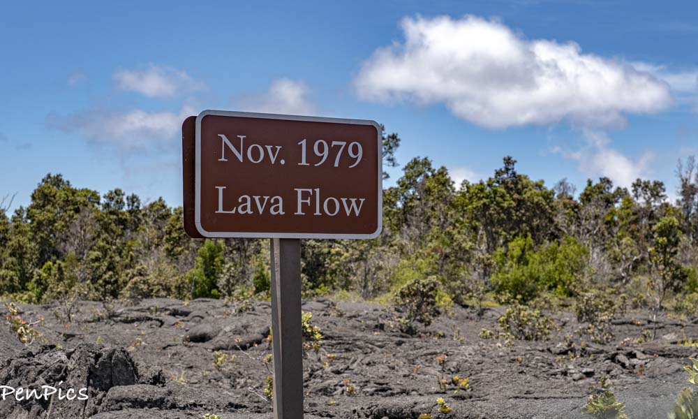
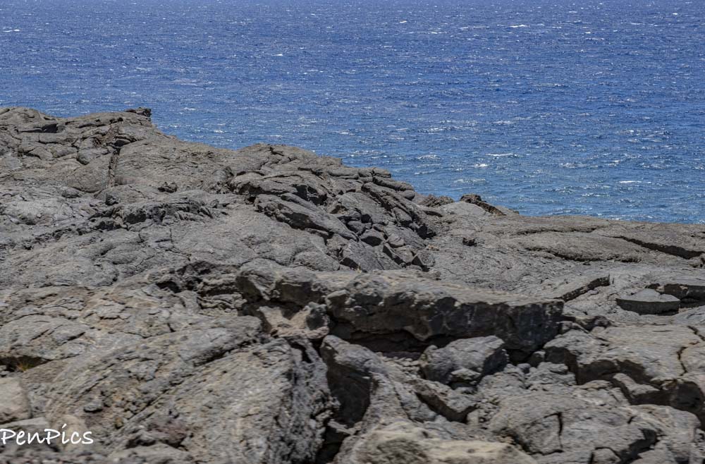
Veering south of Crater Rim Drive is Chain of Craters Road. This 3,700-foot drive eventually ends where a lava flow has overtaken the road.
 *****
*****
For continued information about the Volcanos on the Big Island, and more, click on this link:
https://www.skylinehawaii.com/blog/the-most-active-volcanoes-on-the-hawaiian-islands
******
Back in Kona ⬇️
Before we left the Island, my friend, Lisa took me to the old airport, which is no longer in use. It has become a bit of a hang-out for the locals, as well as other visitors. It is park-like setting with a walking path on one side of the old runway, and a beautiful beach on the other side of the old runway. ⬇️
 Tucked away within the Old Kona Airport State Recreation Area, the Maka’eo Walking Trail will take tourists and locals alike on an enchanting journey through a sea of vibrant tropical flora sure to delight your senses. Measuring in at less than a mile in length, this short, well-paved loop trail features relatively no elevation gain and is a picture-perfect spot for a morning run or a leisurely afternoon stroll.
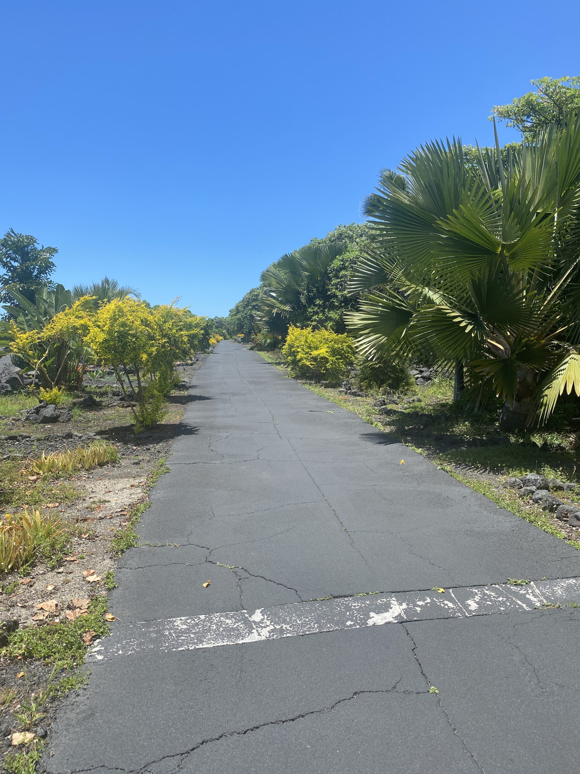
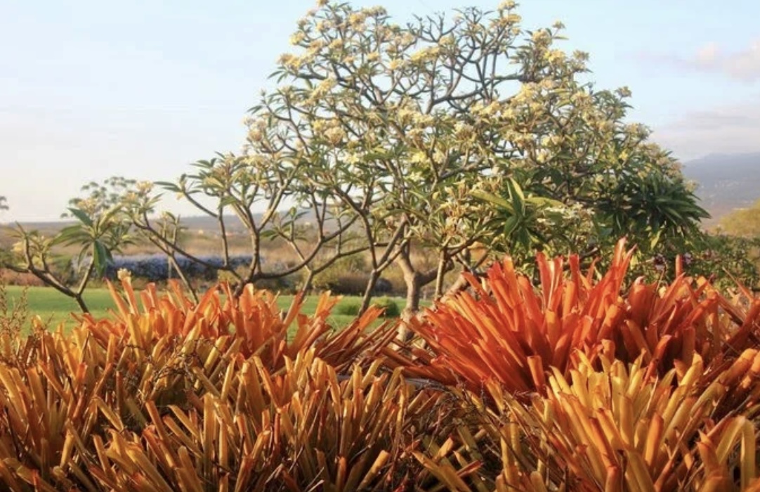 Home to plenty of exotic flora, this charming community botanical garden contrasts beautifully with the surrounding rugged lava rock coast.
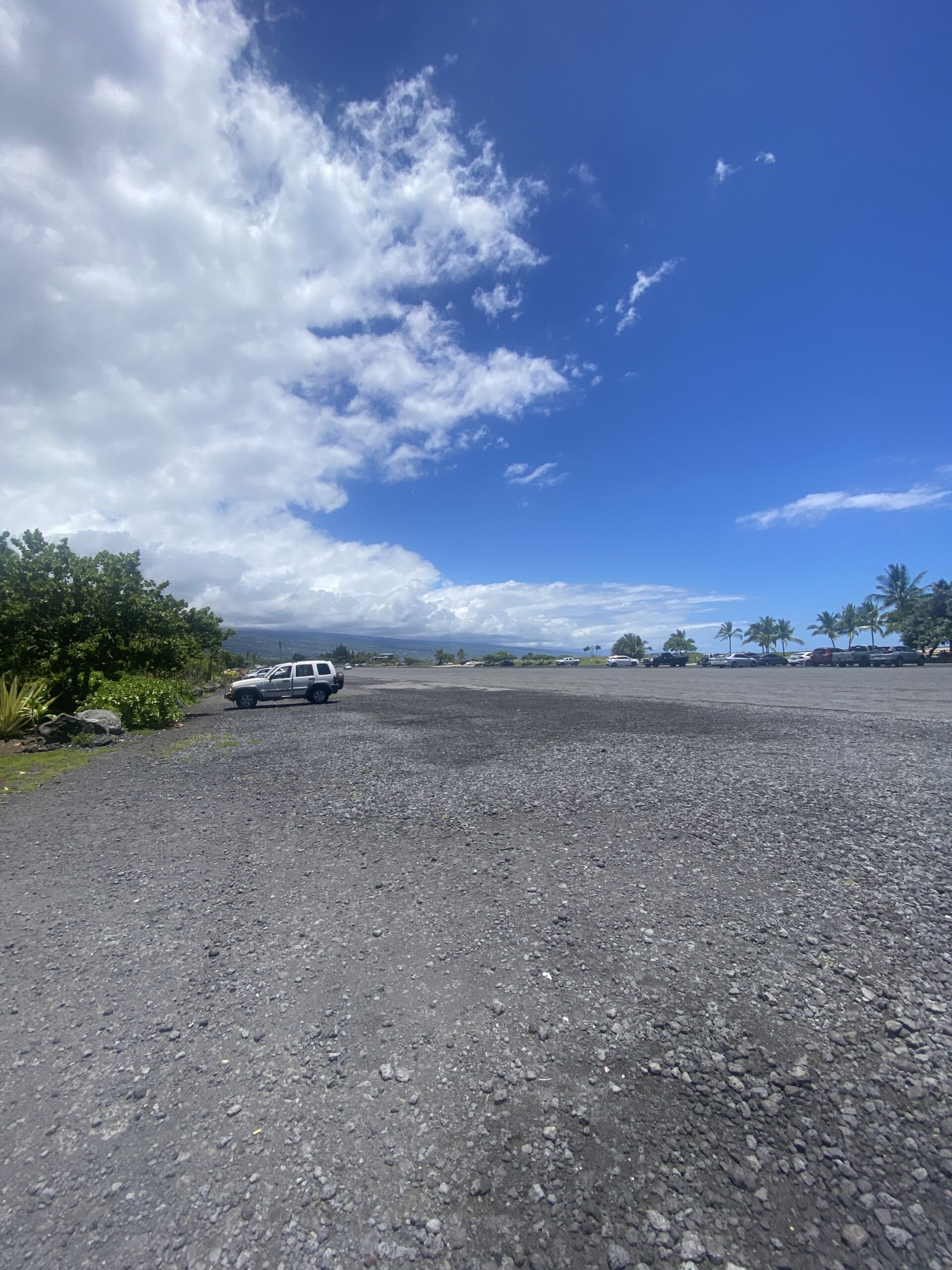 The old runway ⬆️
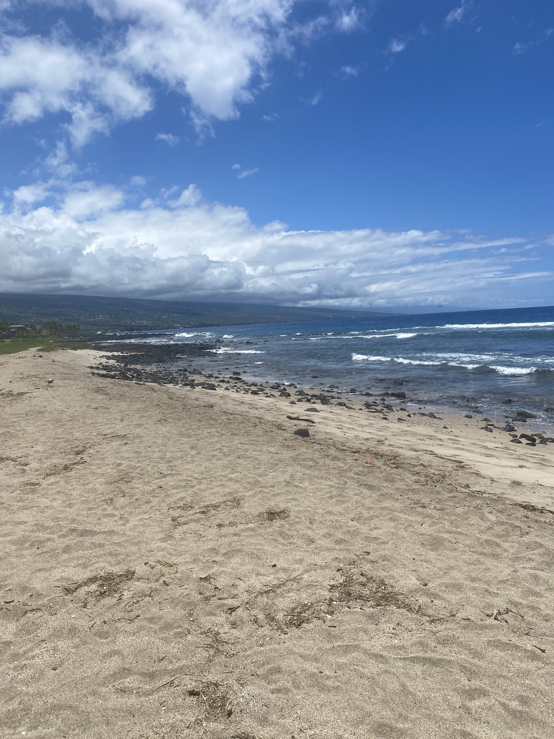
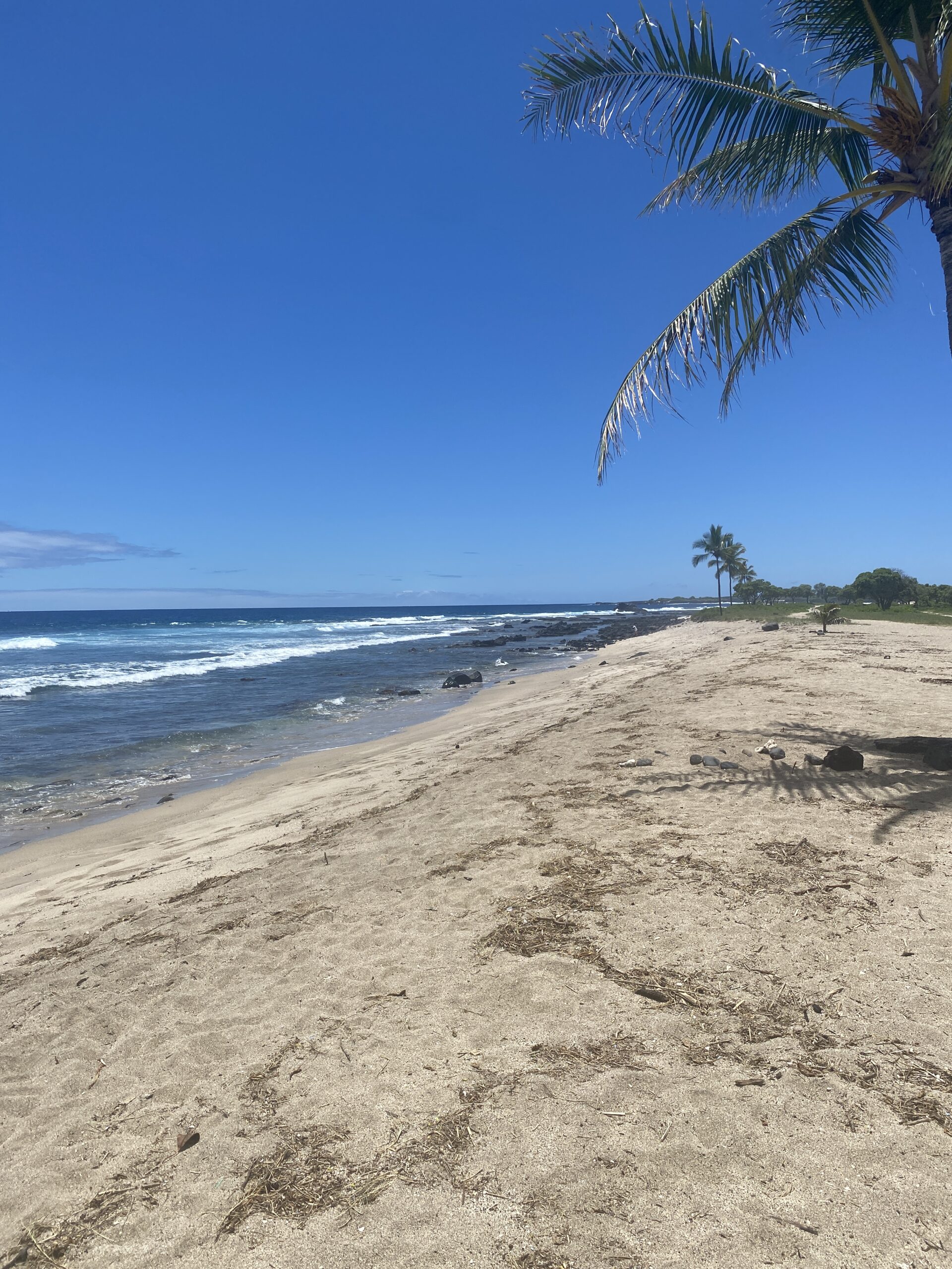 The Beautiful Beach
 ******
 Back at Lisa and Dave’s ⬆️
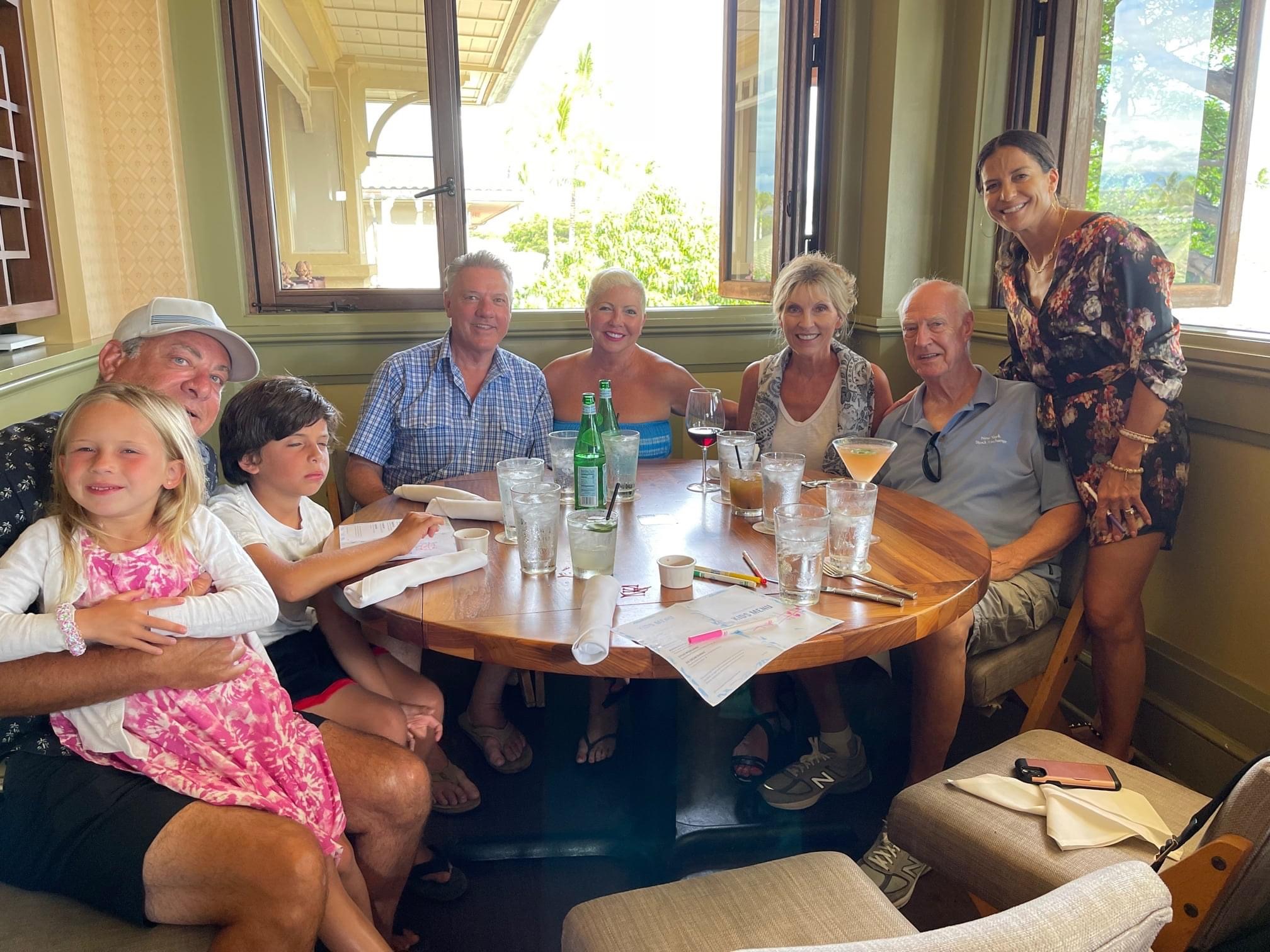
and later…..⬇️
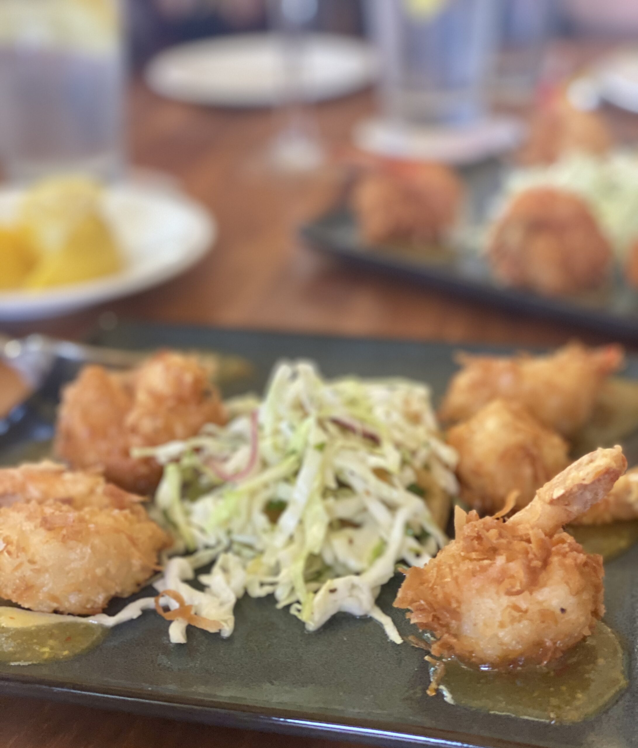
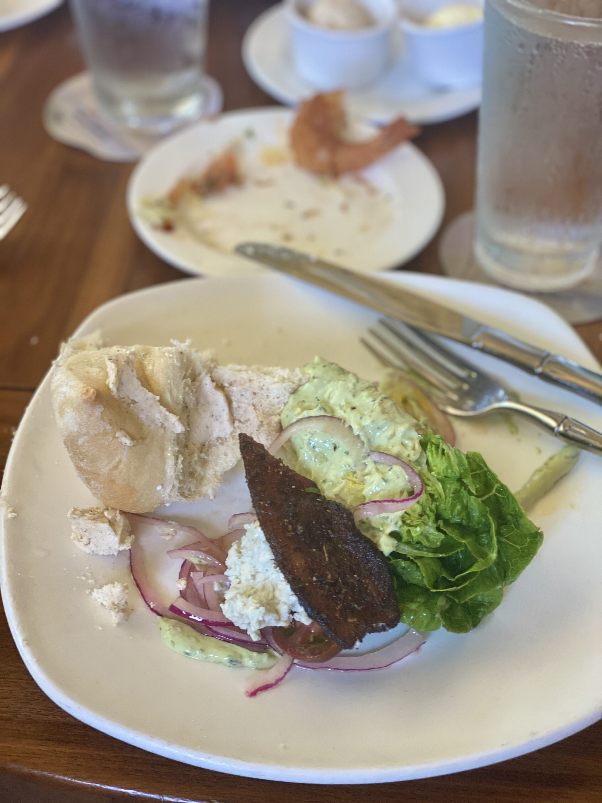
We all got together, again; new and old friends, to enjoy another great meal at Tommy Bahamas on the Island. As is the case on most Hawaiian nights, we end another great day with another beautiful sunset! ⬇️

 *****
*****
Leave a Reply to Pen n Daryl Cancel reply
Archive Blog Posts of Our Country Visits
About Us

About Us
Hello and Welcome to our Travel Blog Website, We enjoy writing about our experiences and taking photos of our adventuring along the way. Our names are: Daryl and Pen, but Daryl calls me “Bunny.” We met, quite randomly, whilst both… Read More
Still looks beautiful. I was there sometime in 1979, Graham had a short term post at the Australian Embassy and I went for a couple of weeks. I will have to try and find my photos and scan them.
How cool. I hope you enjoyed this diverse island as much as we did!