


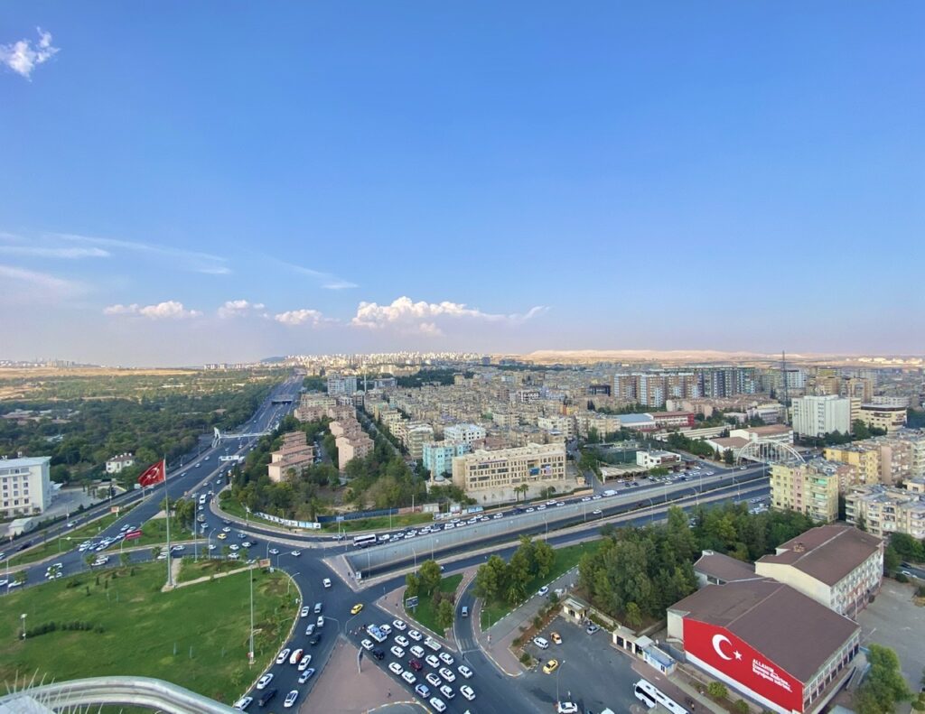
Turkey 🇹🇷 ~Sanliufa “Old Kahta Fortress, Severan Bridge, Arsemia and Karakas Tumulusu near Adiyaman”
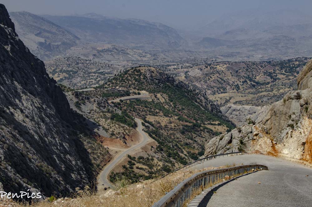
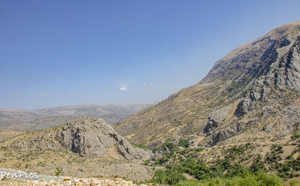
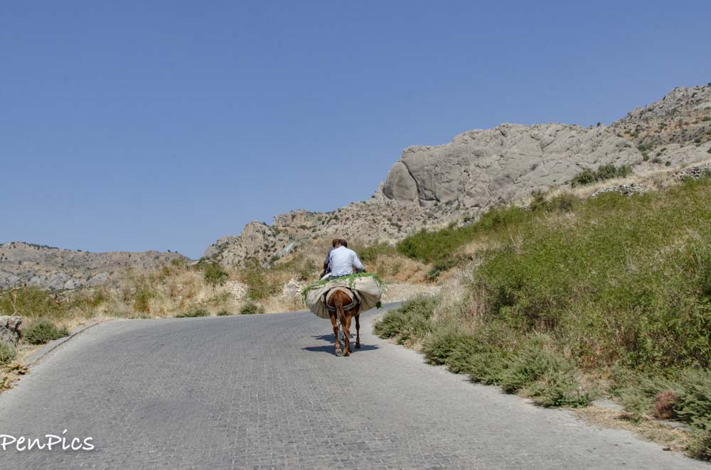
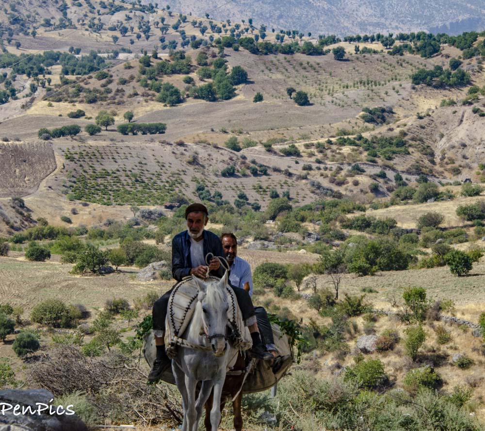
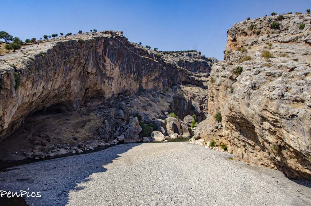
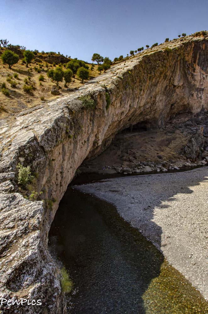
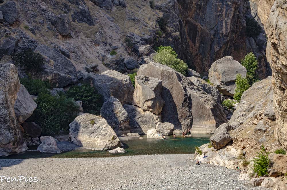
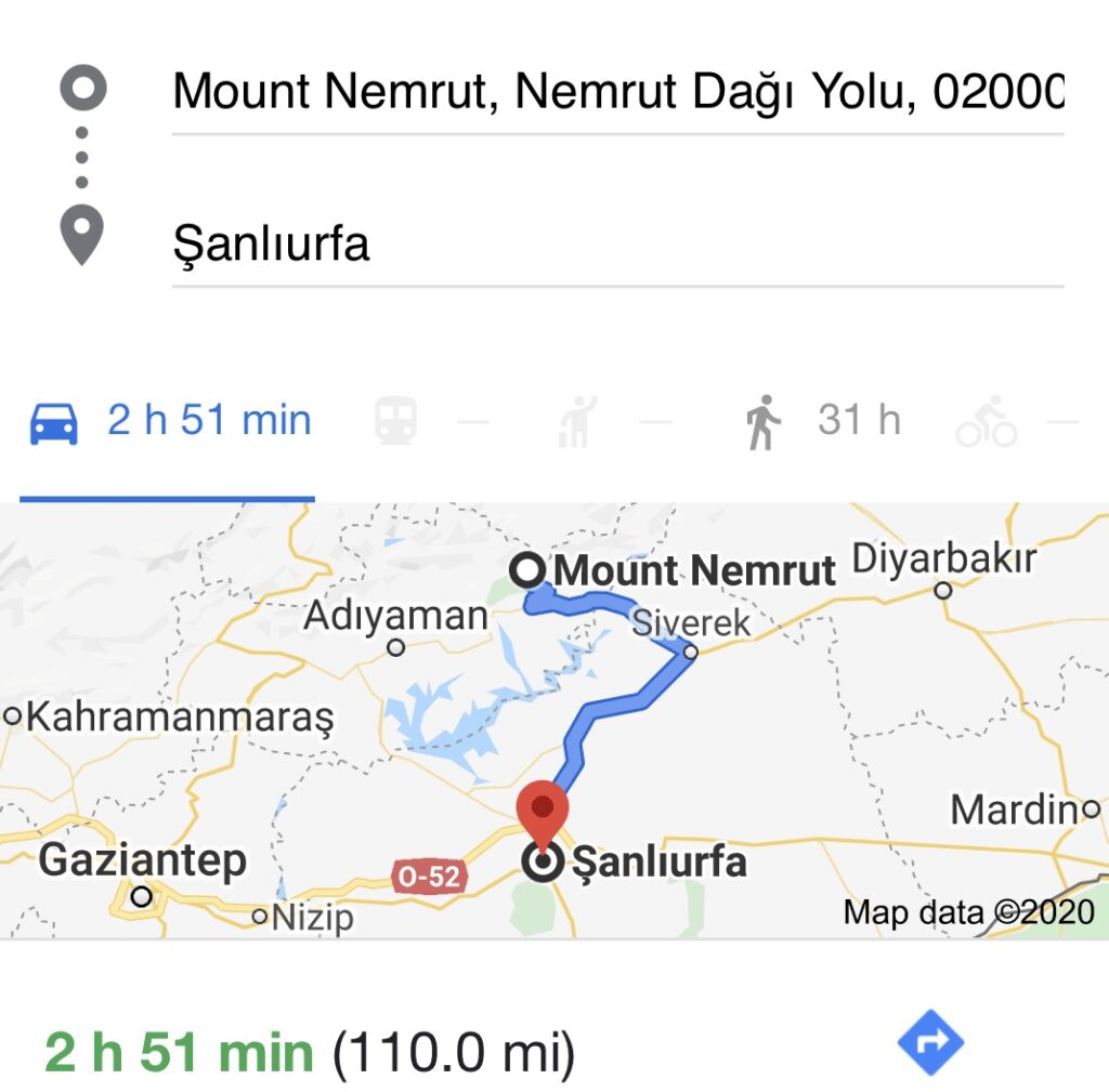
After getting our fill of Mount Nemrut; a gems of an incredible ancient site, we continued the beautiful scenic drive through this remote and mountainous land. We ended up stopping at four more very interesting sites along the way to our next location of Gobeklitepe.
Coming all the way to Eastern Turkey, from the Northwest of Istanbul, is no small task, but there are many sites to enjoy to make the investment of time, and energy pay off!

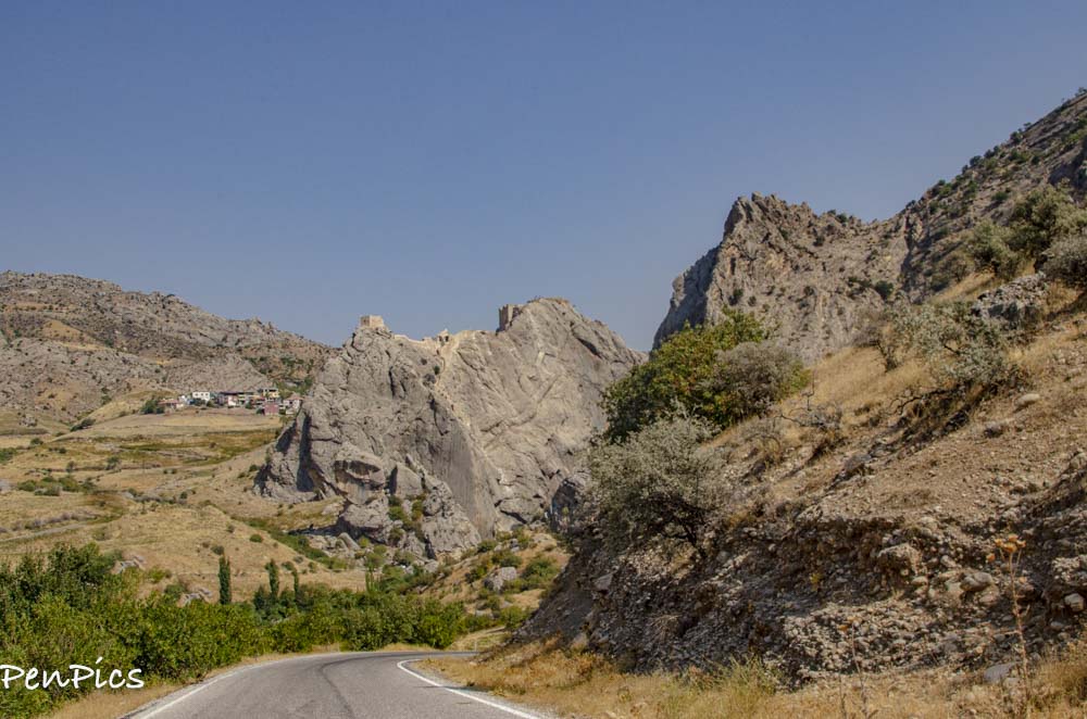
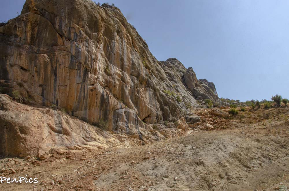
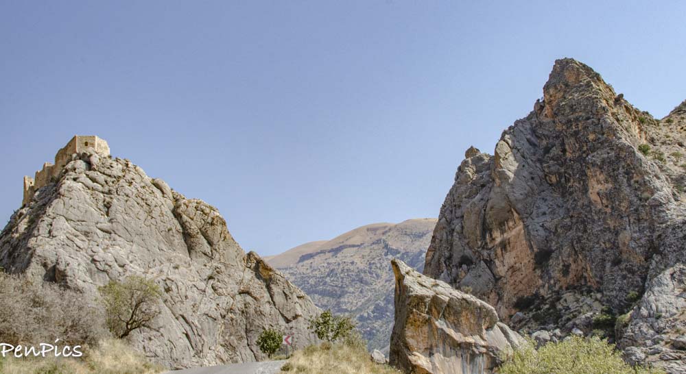
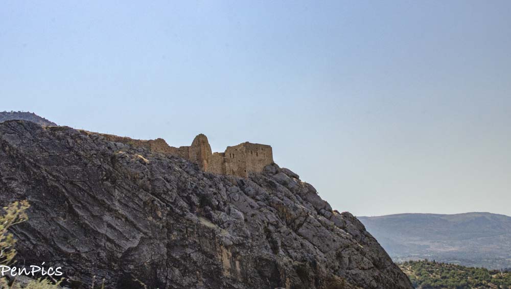
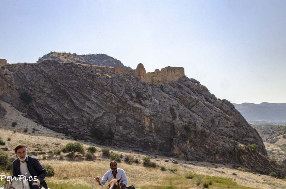
OLD KAHTA FORTRESS
We were very interested in going inside the walls of this Fortress, but we passed by it two times and both times it did not appear to have anybody around. The first time we passed it, was after dark, but the second time we came to see it, was during the day. We thought COVID might have something to do with it being closed. BUT, later I would learn the renovations carried out around the ground of the Fortress were prolonged, because apparently, the manager fell from the walls of the Fort to his death, in 2017. Since that time the Fortress has been closed to the public. How sad and tragic.
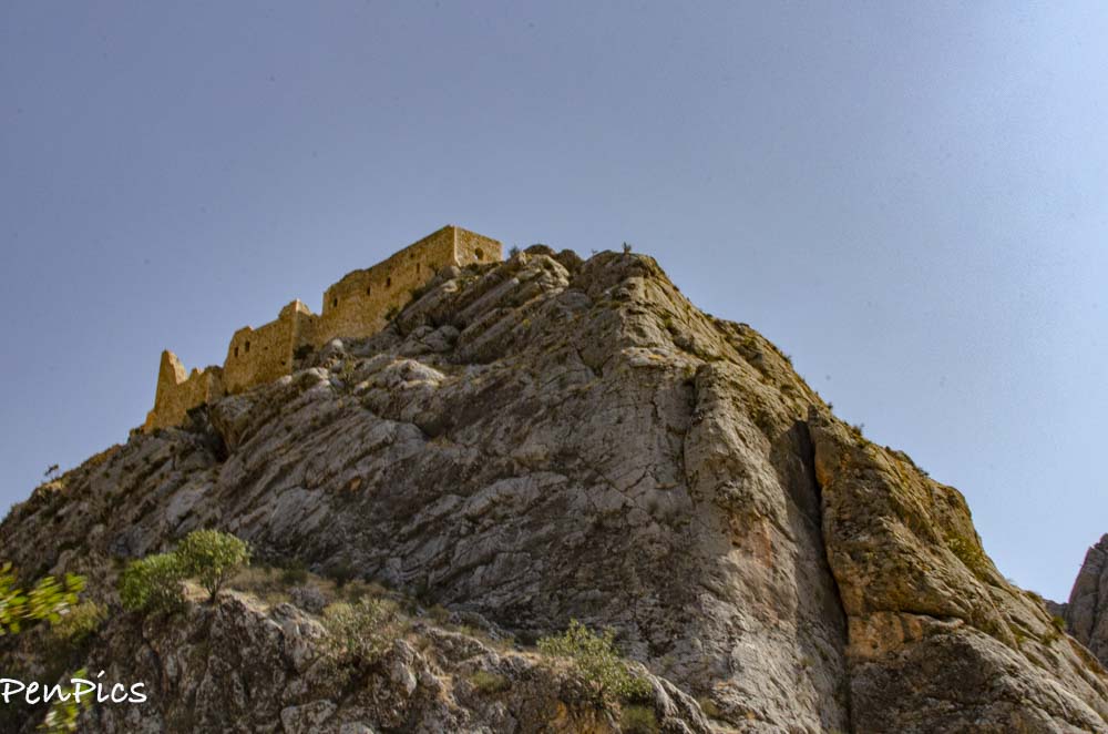
On the steep hill where the New Castle stands today, it is written there was once the Palace of the rulers of the ancient Kingdom of Commagene. The inscription discovered near Arsameia by the German archaeologist; Friedrich Karl Dörner, revealed the existence of these structures. However, no trace has been found of this Palace, and in their place, a Fortress was erected, clearly visible from the Acropolis of Arsameia.
The Arabic word mamlūk literally means property and was used to describe a slave. However, the Mamluks were more than just the slaves, for they were the elite military caste of Egypt, that evolved from soldiers recruited from the foreigners. People familiar with the history of Ottoman Empire may recall the Janissaries formation, which was formed in a very similar way, from Christian boys taken from the Balkans. The Mamluks were created as the military support of the Egyptian dynasty of the Ayyubids that ruled from the end of the 12th century and the first half of the 13th century, founded by legendary warrior Saladin. The Mamluks serving in Egypt were recruited mainly from the Kipchaks – a Turkic people settled at that time in present-day Kazakhstan and southern Russia. By joining the Ayyubids service, they converted to Islam and learned the Arabic language.
Yeni Kale Fortress was used by the Mamluks during a long-running conflict with the Ilkhanate. At the top of the orFt, there is a room called “Pigeon Castle,”containing 32 niches for these birds. They were used as a means of communication, for instance, while tracing the movements of the enemy before the Battle of Homs in 1281. In this battle, the Mamluks led by the Sultan Sayf ad-Din Qalawun won a decisive victory over the Ilkhanate army under the command of Möngke Temur. Interestingly, during this battle, the Christian troops of Armenian Kingdom of Cilicia, Kingdom of Georgia and Knights Hospitaller supported the Mongols. After the defeat, the Mongols withdrew to the east of the Euphrates, which from that moment marked the border between the Sultanate of the Mamluks and the Ilkhanate.
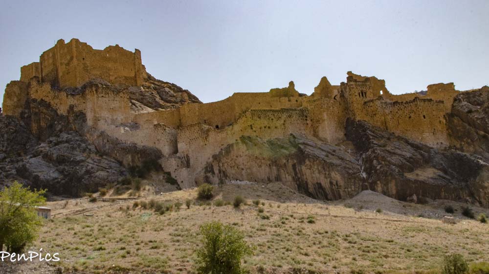
Water to the Castle was brought from a nearby stream, now known as Kahta Cayi, and stored in a cistern in case of a siege.
This Fortress owes its present shape to the Mamluks who built it at the end of the 13th century. There are inscriptions in Arabic language referring to the construction and renovation of the Castle, during the reign of three Mamluk sultans bearing the names of: Sayf ad-Din Qalawun (1279-90), Salah ad-Din Khalil (1290-93), and Nasir ad-Din Muhammad (1293- 1341).
At this point someone might ask who were those Mameluks, to rule in Anatolia instead of the Turks? During the stormy period of history discussed here; the turn of the 13th and 14th centuries, Asia Minor was split into numerous political entities. This division resulted from the battle at Köse Dağ, fought between the Sultanate of Rum ruled by the Seljuk dynasty and the Mongol Empire in 1243. The defeat of the Turks resulted in a period of turmoil in Anatolia and led directly to the decline and disintegration of the Seljuk state.
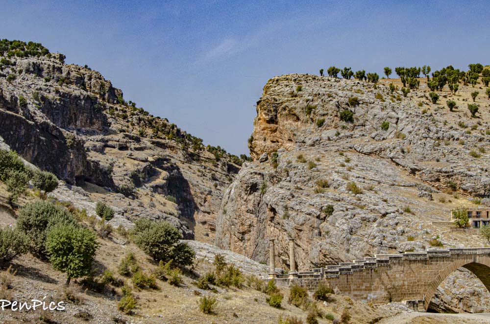
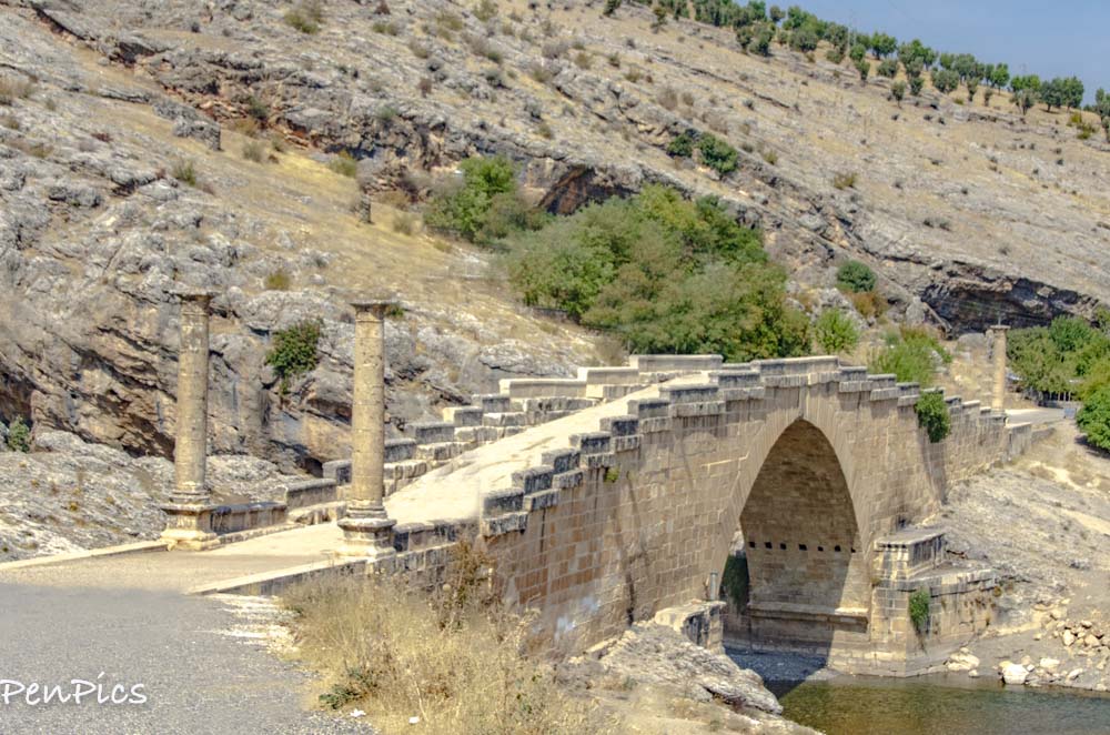
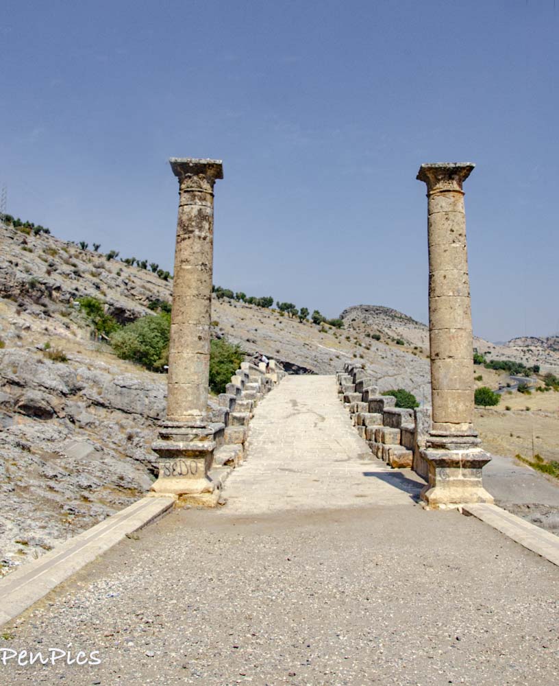
SEVERAN (Severus) BRIDGE
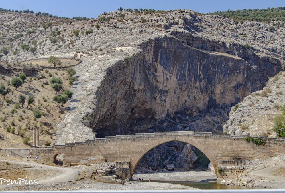
The bridge is frequently called the Bridge of Septimius Severus; the Roman emperor, during whose reign; 193 – 211 BC, the present structure was erected. Most probably, it replaced an earlier bridge, built during the reign of Emperor Vespasian; in the years 69-79 BC. Modern maps and signposts often refer to this bridge as Cendere Köprüsü, meaning the bridge over the river Cendere.
Older sources refer to the structure as Chabinas Bridge. Both of these names: Cendere and Chabinas, derive from the river, above which the building stands; the Cendere Stream, a tributary of Kâtha River (ancient Nymphaios). The name Cendere is contemporary, while the ancient sources, including the inscriptions placed on the bridge itself, speak of the river Chabinas. There is also another Turkish name for this river; Bölam Su, which means” the Divided Waters.”
The bridge is constructed from 92 stones, each weighing about 10 tons, arranged to form a single majestic span of just over 112 feet across. The structure is thought to be the second largest surviving Roman arch bridge.
Emperor Lucius Septimius Severus
Commagenean cities built four Corinthian columns on the bridge, in honor of the Roman Emperor Lucius Septimius Severus (193–211), his second wife Julia Domna, and their sons Caracalla and Publius Septimius Geta, as stated on the inscription in Latin on the bridge.
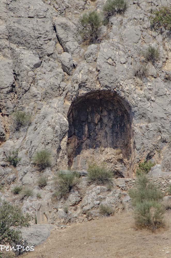
ARSEMIA
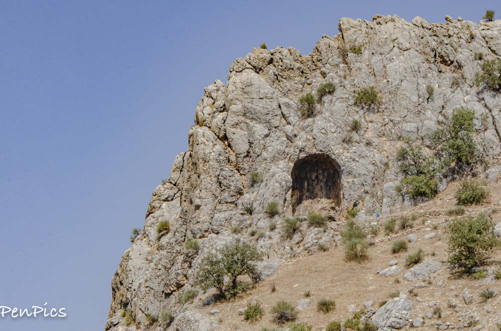
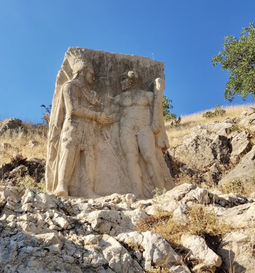
Arsemia was once the summer residence of the Commagene kings, and is located near Adiyaman. At the foot of this ancient city there is a magnificent relief representing Heracles (or maybe Artagnes, a Persian deity whom the Greeks identified with Heracles) shaking hands with King Mithridates of Commagene from around 50 BC and next to it is located the greatest Greek inscription of Anatolia.
Kingdom, and mentioning Arsemia as its capital. It also states that Mithridates, the father of King Antiochus I, was buried here.
KARAKAS TUMULUSU
In this location the researchers discovered an inscription in Greek, explaining the meaning of the whole complex. Excluding a few expressions which were not possible to translate due to significant damage, the inscription states:
“This is the hierothesion belonging to Isias, whom the great king Mithridates (she was his own mother) […] considered worthy in this last hour. […] Antiochis lies here, the sister of the king of the same mother, the most beautiful of women, whose life was short but the honours – longlasting, Both of them, as you can see, supervise this place, together with the daughter of the daughter, the daughter of Antiochis, Aka. The monument to the life of each of them and to the honour of the king.”
Now, it seems an excellent moment to explain the word hierothesion that appears in the above inscription. It comes from ancient Greek and literally means a “sacred seat.” In the Kingdom of Commagene, this term was used to describe royal mausoleums.

Leave a Reply to Judith Helen Twist Cancel reply
Archive Blog Posts of Our Country Visits
About Us

About Us
Hello and Welcome to our Travel Blog Website, We enjoy writing about our experiences and taking photos of our adventuring along the way. Our names are: Daryl and Pen, but Daryl calls me “Bunny.” We met, quite randomly, whilst both… Read More
Great reading and beautiful photos
Thank you Judy. You are always so supportive and we appreciate you so much!