


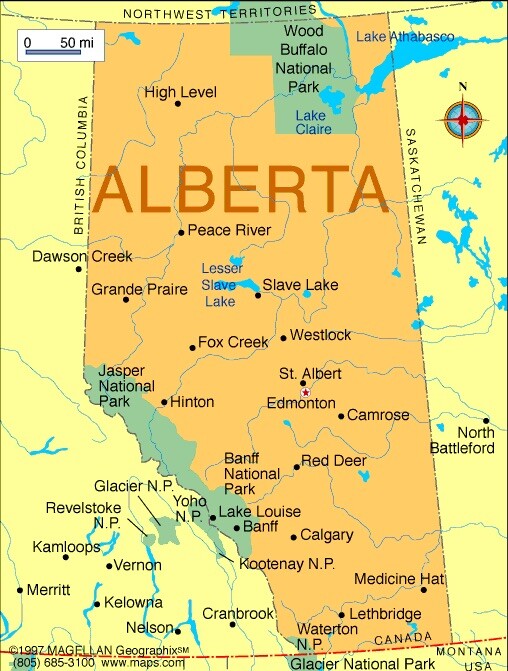
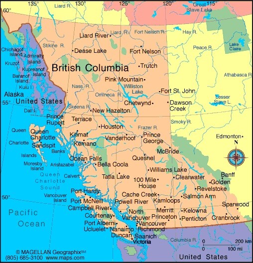
“Cross-Country Canada 🇨🇦 ~British Columbia in Dawson Creek from May 30th – June 2nd, 2023”
Dawson Creek, and back in British Columbia
Days 1 through 4:
May 30th – June 2nd, 2023
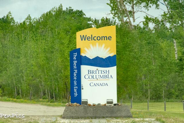
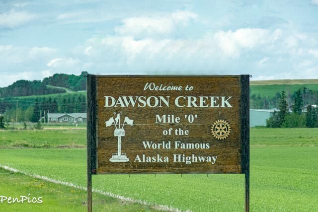
We made it to Dawson Creek!!!
It is here, where Mile “0,” is, and where is traditionally the beginning of the AlCan Highway,
⬆️
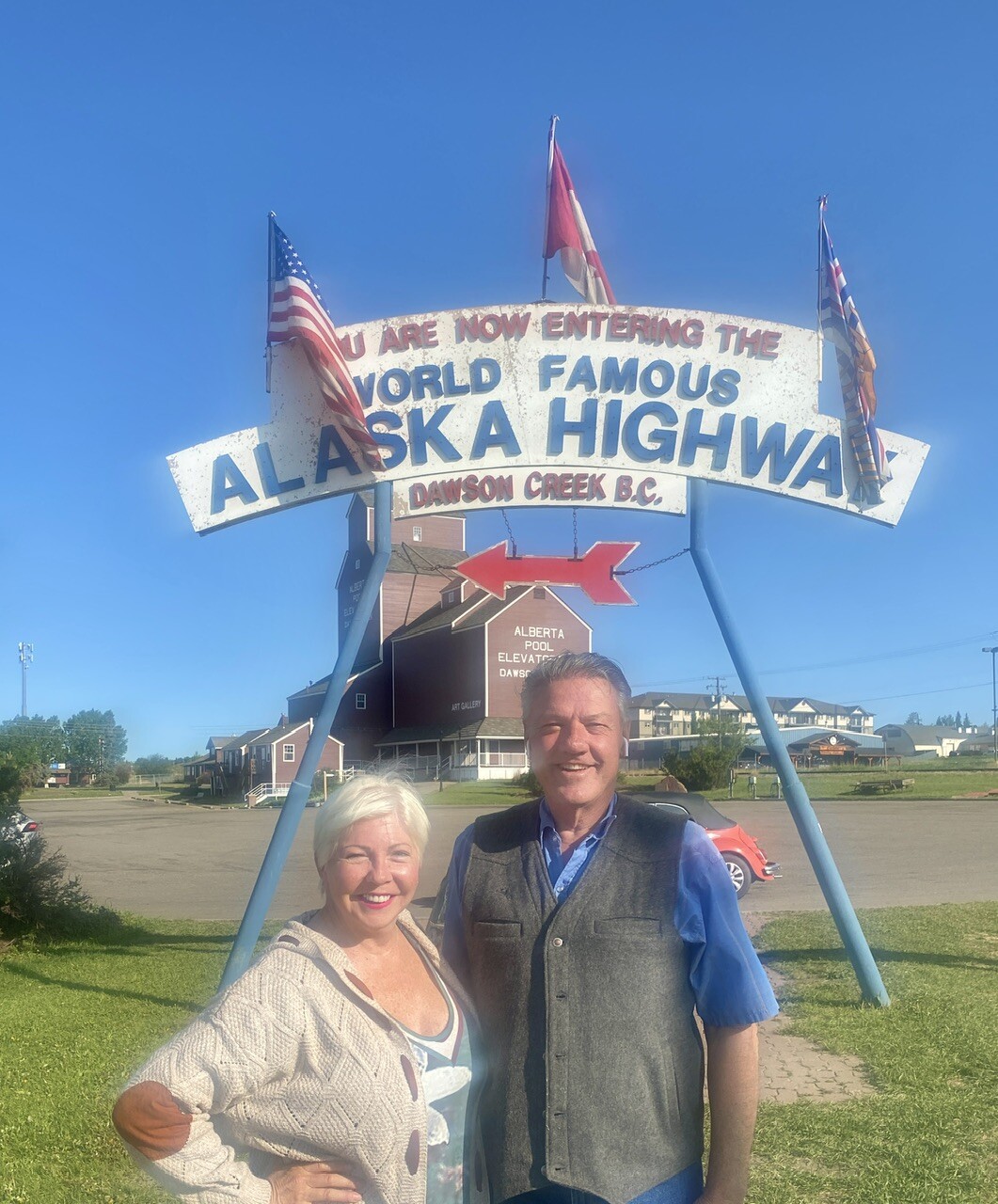
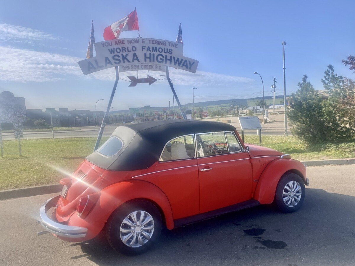
We are not the only ones rearin’ to go to Alaska!
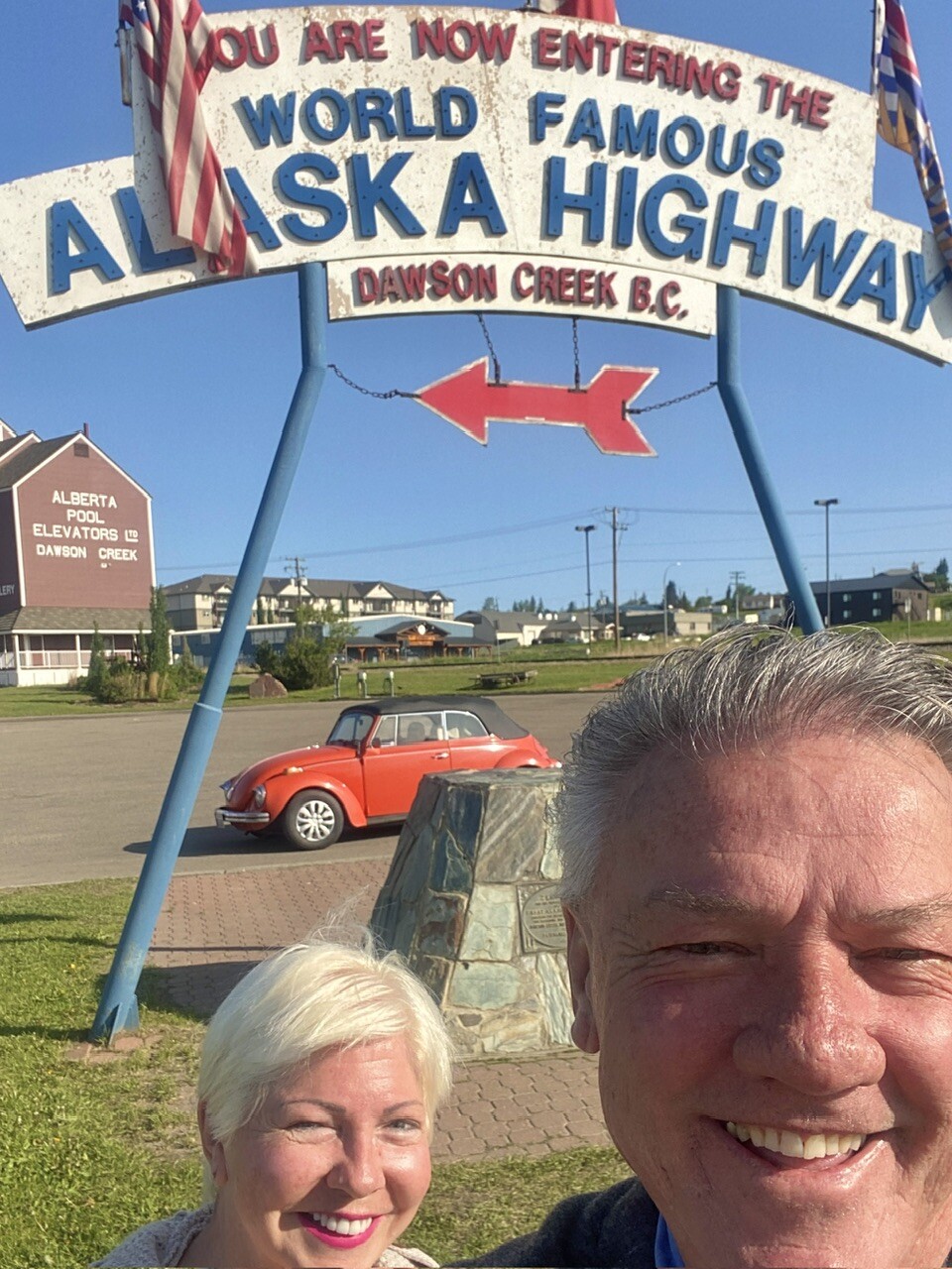
We feel accomplished to have made it this far, coming from Montana; though technically we started from Arizona – California – Oregon – Idaho, then Montana. Where does one “put a pin in it,” when RVing full time? Regardless, we feel ever so grateful.
The first leg of our epic adventure is now complete!
We have thoroughly enjoyed Canada and what she has to offer, so far. The scenery and wildlife viewing have been absolutely mind-blowing at times! Canada is a very large place, and not heavily populated. This makes way for much, un disturbed, wilderness areas.
From Polson Montana:
Starting Mileage on The Whale: 55,555
To Dawson Creek BC:
Ending Mileage on The Whale: 56,466
Total Miles Traveled to Date in The Whale:
941
Days 1: May 30th
This morning, quite early, it was rise ‘n shine for us. I looked out the window and got quite a start, because I saw the bright red/orange color, behind the trees and thought “FIRE!” … but after a few seconds, and waking up further, I realized, it was just a pretty sunrise!
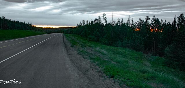
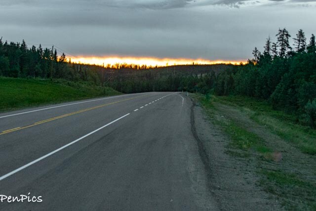
We heard about a lot of wildfires, before we began this journey, so wildfires have been on my mind, since we are a little beyond, where they started a few weeks back.
We certainly saw the smoke from them, while in Montana, but we have seen zero smokey skies in Canada, and zero fires. We haven’t even see any devastation from those fires. (no complaints)
So far, we are getting no alerts, or detours, so this is very good news. There has been quite a bit of rain in the area. I’m sure this has helped a great deal.
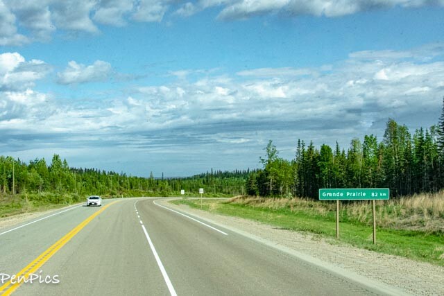
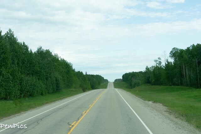
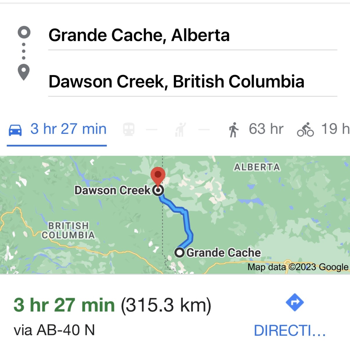
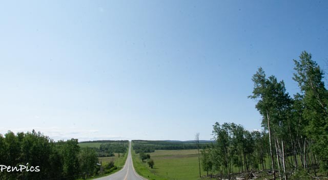
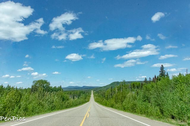
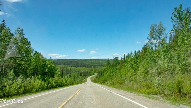
After getting underway, from just outside Grande Cache, we had a very regular travel day, knocking out the miles. We continued on Hwy 40, but I have to say, after the glaciers, glacier lakes and mountains, we had been seeing, today felt a little different. We drove out of the nature corridors and into inhabited lands, by people.
The pristine landscape disappeared and turned in to long stretches of farmland, mixed with only some forests.
Our highlight today, though, came as quite a shock, not too far from our boondock stop of last night.
We actually saw a BLACK Mountain Lion, run across the road in front of us. We thought we were seeing things!
We’ve been looking for wildlife, yes, but we did not expect to see this! It was really long; about four feet, not including its tail.
I couldn’t get a picture, drats, as it all happened so fast!
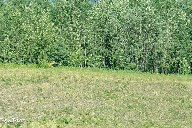
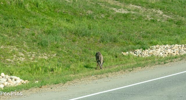
While still in the forested part of Hwy 40, we also saw two Deer.
Before leaving Hwy 40, there is major construction going on. Looks like they are “twinning” Hwy 40, and soon the lanes will double.
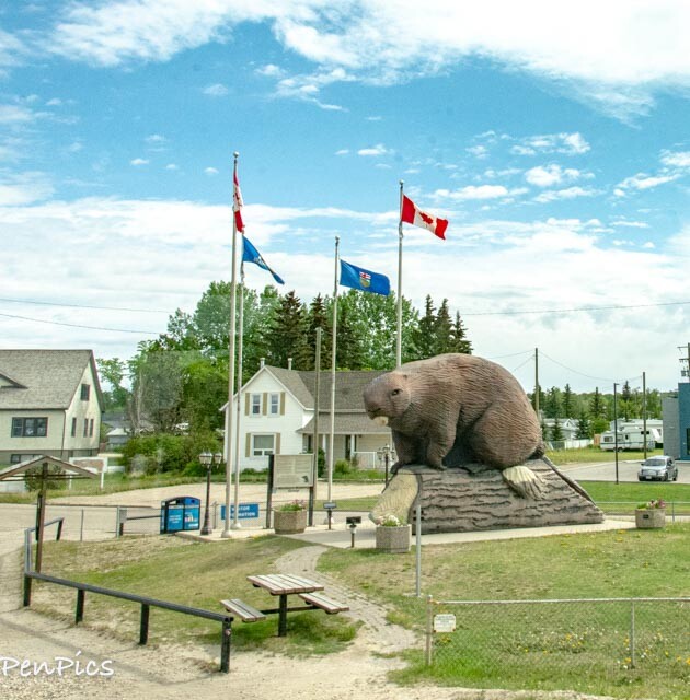
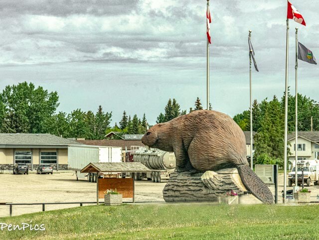
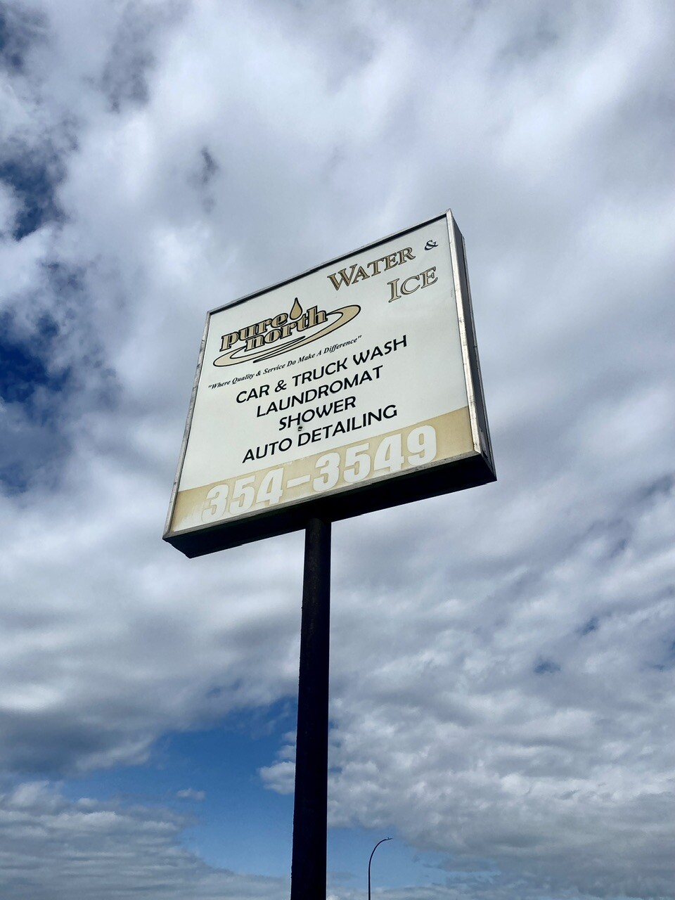
After leaving Hwy 40, for 43, we went through a town called “Beaverlodge.” We found an RV Wash, and got both vehicles cleaned up!
We need clearance of 13’ 1”… the bay was 13’ 4”
Whew!
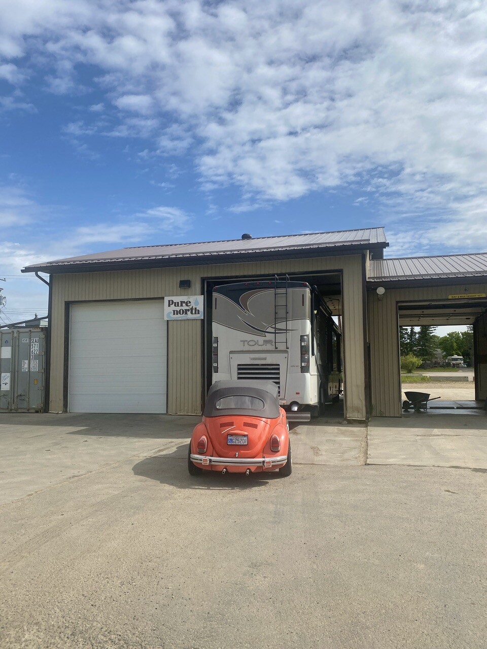
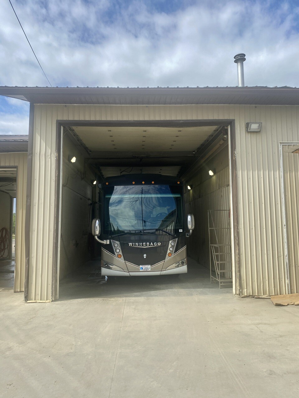
You know how to make it rain, right? “Wash your vehicles.” The Whale still looks good, but Jonah is harder to keep clean, being a towed vehicle. Oh well.
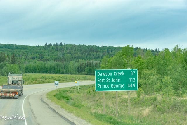
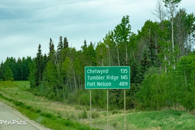
From Hwy 43, we turned on to Hwy 2. Finally, we hit up Hwy 49, right on in, to Dawson Creek. It was fun seeing road signs, as we rolled along, marking off the kilometers to certain towns; town names, that I have become quite familiar with, from doing so much researching for this trip. We will be going through most of them; either going to Alaska, or coming back from.
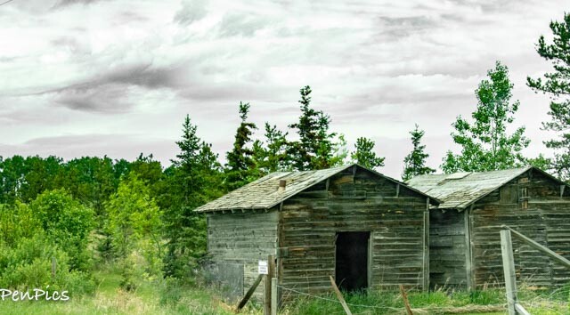
I began seeing many, many of these old shacks on various peoples property. Some looked like they had been moved from somewhere else and placed. Some are very dilapidated, but others, like those above are still standing. I would love to know what the story is.
I’m thinking old mining shacks?
**************
We had about a five hour day. We drive 55, top speed, and a lot of times. under that. We get 9 mpg.
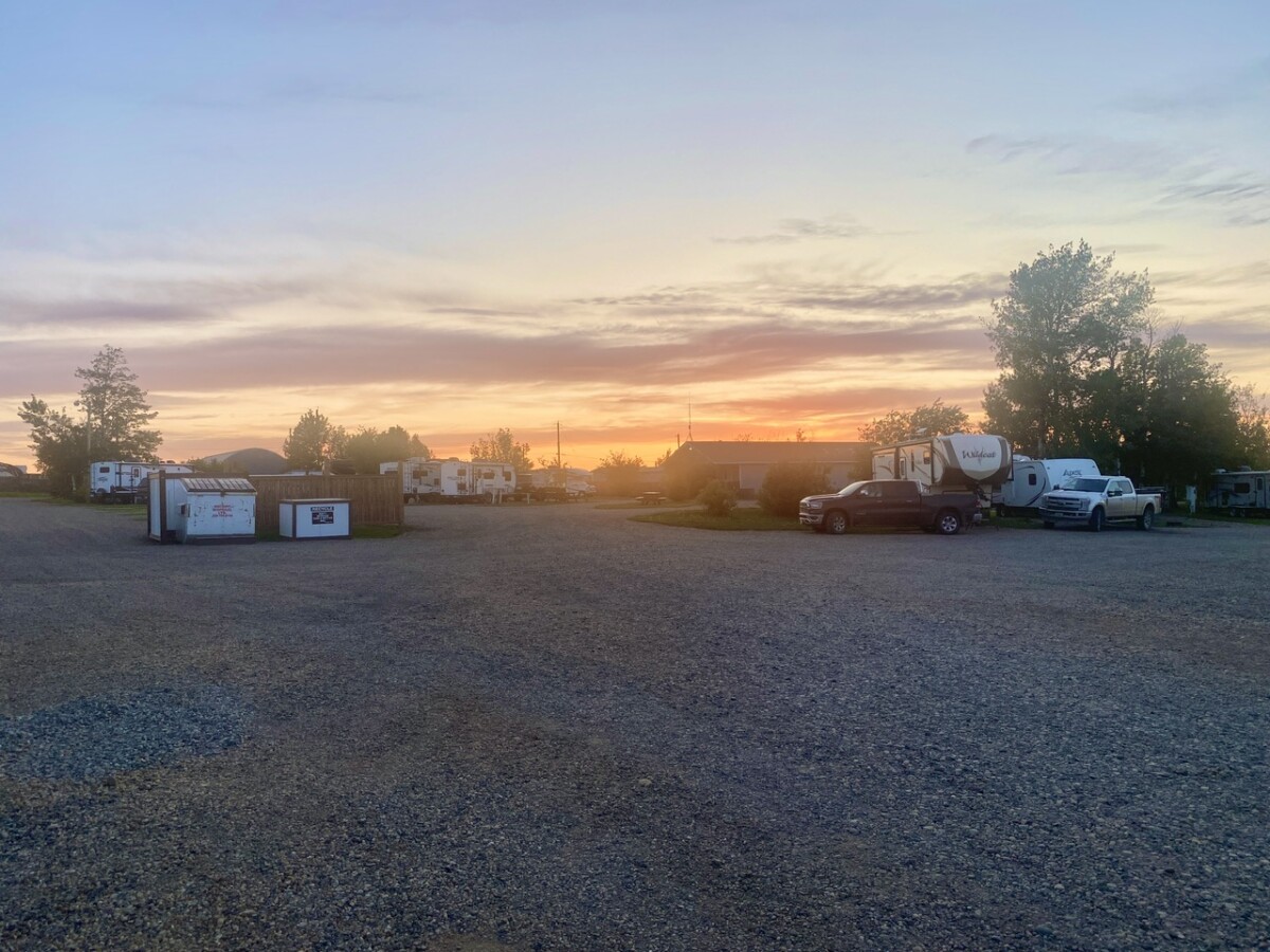
We got plenty of miles under our belt, by the time we arrived at Northern Lights RV Park (recommend, because they are super nice and accommodating) We immediately got all hookups going.
Mama is Glamping again!
I cooked pork belly for dinner and did a load of laundry.
There are some sites to see around Dawson Creek, and we look forward to having the time to explore. The weather looks promising!
****************
Day 2: May 31st
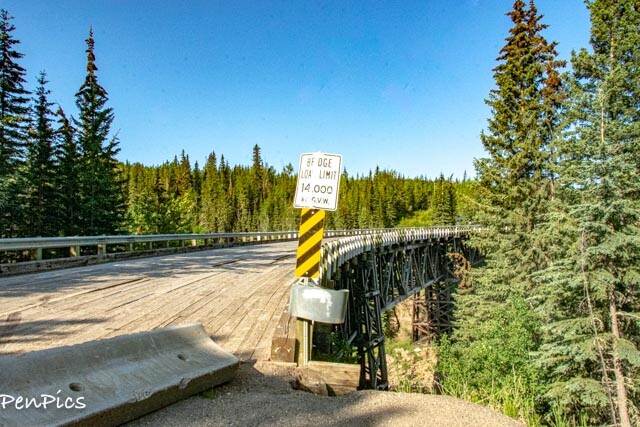
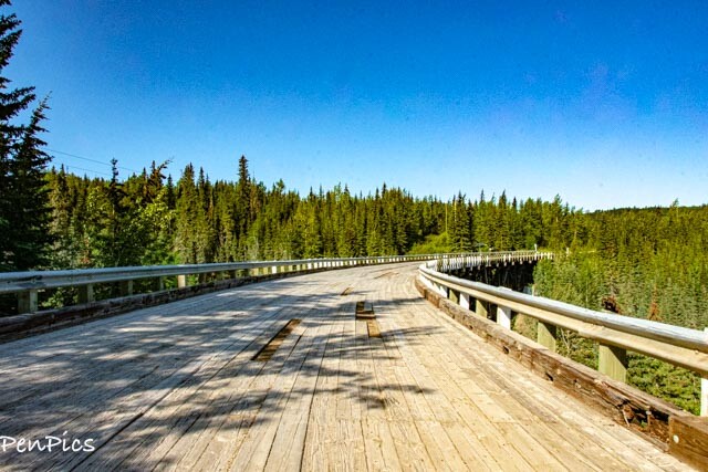
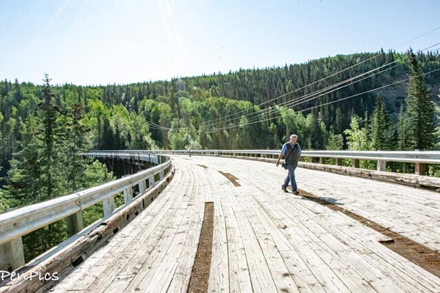
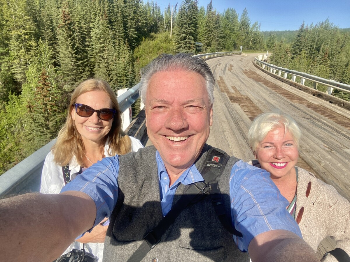
Kistkatinaw Curved Wooden Bridge ⬇️
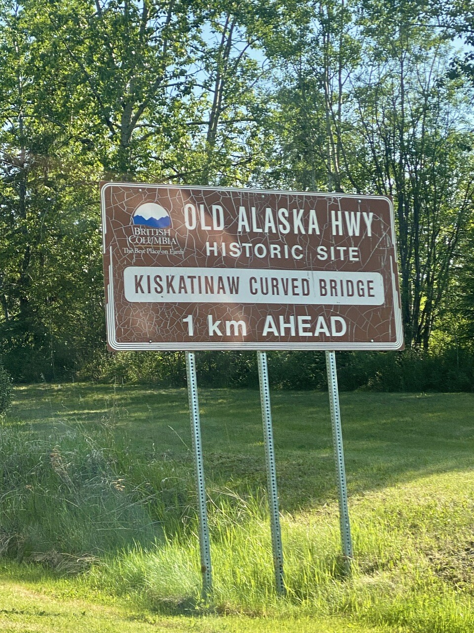
Our first stop was on the old Alaskan Highway.
There is this super cool bridge that is now, decommissioned, and closed to motorized vehicles.
We parked Jonah (no big rig parking) ..and walked it.
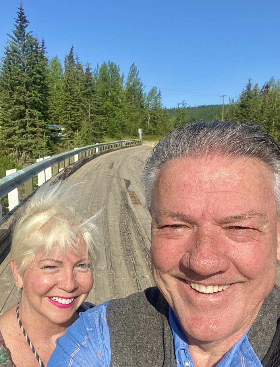
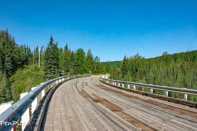
I got a little nostalgic, walking on this old highway and bridge, because my grandparents drove on this exact spot in the 70’s; driving their big rig Motorhome and towing their orange ‘72 VW Superbeetle (hardtop) to Alaska.
I definitely got my “travel bug” from my grandmother. If my grandpa didn’t want to fly somewhere in the world, my grandma went on her own. I totally get that. I did the same, if nobody else wanted to go. Being married again, now, I have my traveling man, who is just like me!
My grandpa did go most of the time, with my grandma, and they traveled the world, for many years, then bought their Motorhome and traveled that way…I’m (we) following in their footsteps.
My grandpa passed at 84 and my grandma, passed, just shy of her 102nd birthday.
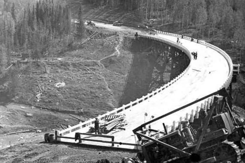
Construction of the Kiskatinaw Bridge, Alaska Highway 1942-1943 ⬇️
We met another traveler, heading for Alaska, while also checking out the historic bridge. Her name is “Laura.” She is very well traveled, like us, and it was so great to visit for a bit.
She is also on the face group “RVing Alaska 2023,” like us.
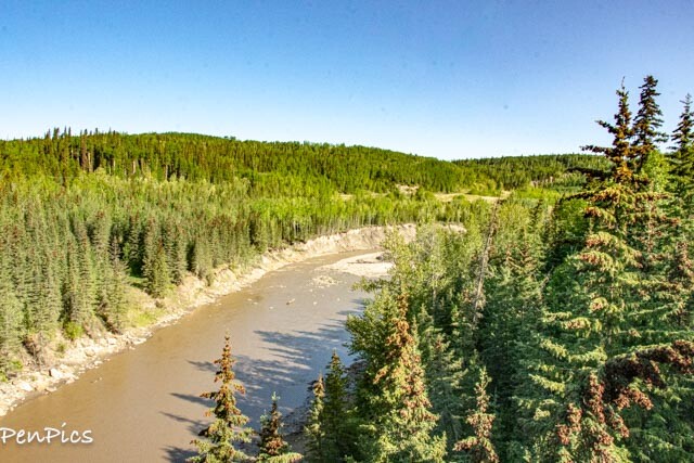
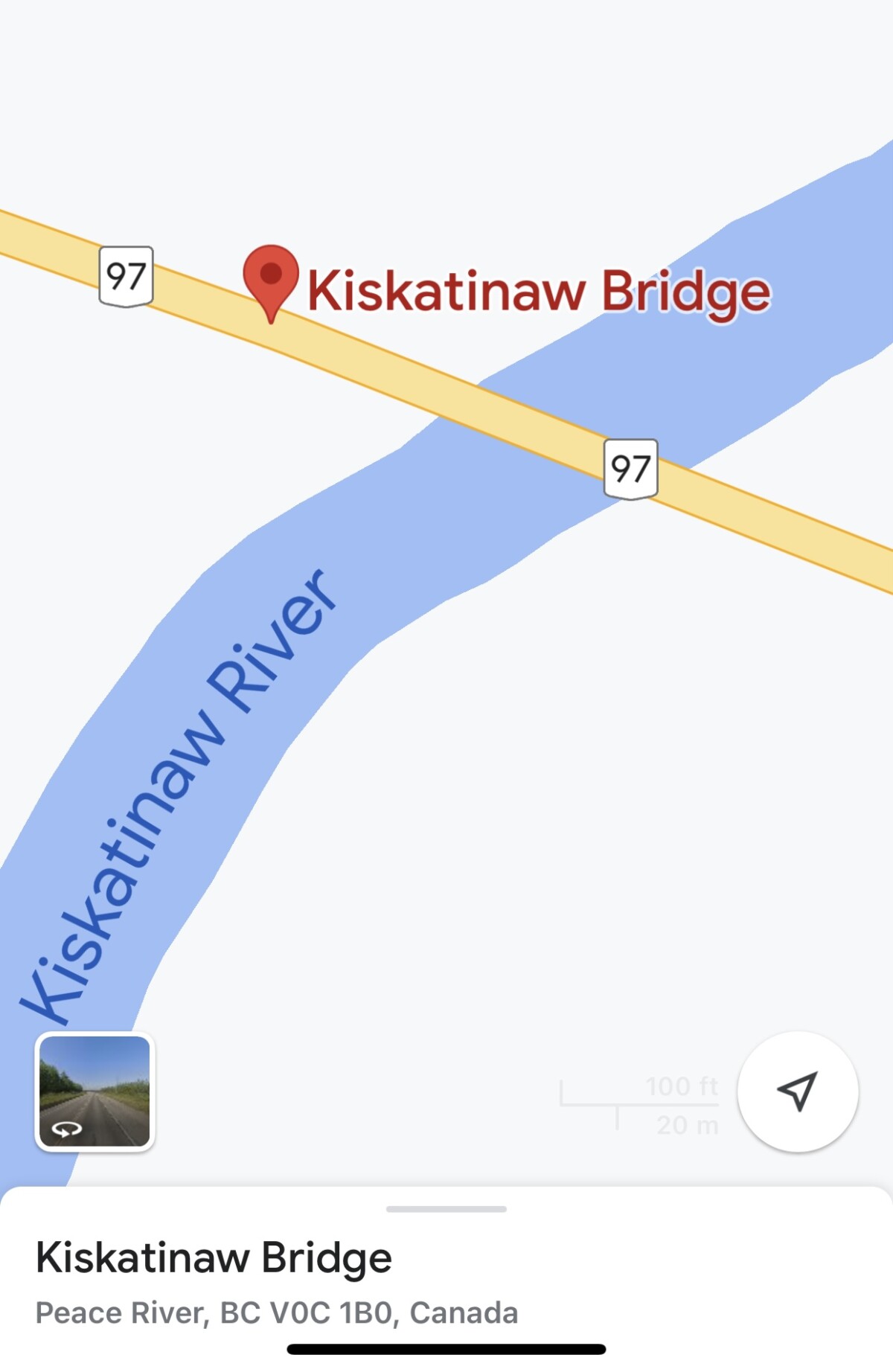
Kiskatinaw River Bridge is an old wooden bridge along the equally as old, Alaska highway. It’s still standing, today, as proof of an engineering marvel on the Alaska highway corridor.
The construction of this bridge began in 1942, in order to replace the temporary crossing built by USA, while building the pioneer road.
This is a 531 foot wooden curved bridge, with timber truss construction, which took nine months to complete. Constructing a curved structure is not the only challenge. Given the very cold temperatures, they had difficulty to cure the concrete pedestals and piers. They had to built an enclosure around them, to maintain a constant warm temperature.
Due to the development of the oil and gas industry, the government had to re-route the highway with a better bridge to withstand wider and much heavier loads.
Today, we accessed this historic bridge, by way of a small loop road (east); 17.3 miles from Dawson Creek.
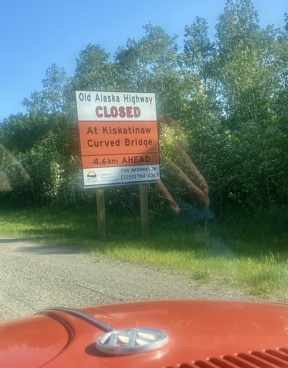
NOTE: this bridge is clearly marked as closed for driving across. But, I noticed that people have moved the concrete barriers, (which are there to block, said motorized vehicles), and drive the bridge, anyway. This makes me very sad, because this bridge is very historic and can last the ages for others to enjoy, in its entirety, if respected…The bridge has broken and rotted places. It’s also just not safe to drive on, since it no longer is maintained for service. The piers, which bear all the weight, have been damaged, and are no longer stable.
just saying.
https://news.gov.bc.ca/releases/2021TRAN0083-001095
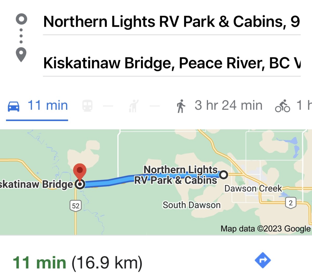
We came from our campground, so are closer, then from Dawson Creek; about 11 miles.
Our top speed in Jonah is 55 mph, unless going downhill, and she can get up to 65! However, going up an incline, she maybe goes 40 🤣 …always taking us longer.
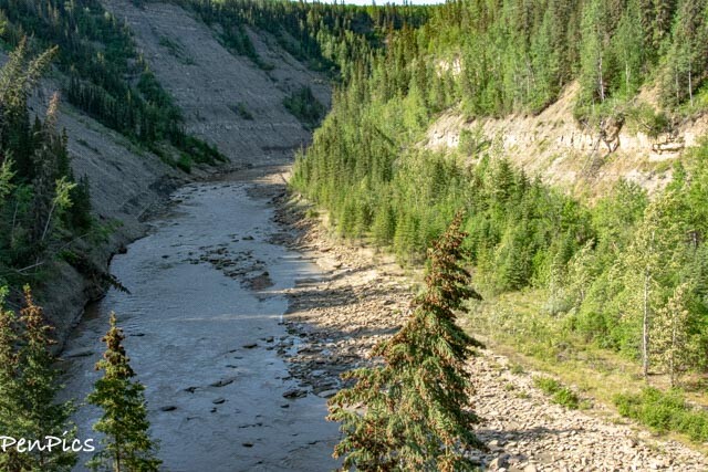
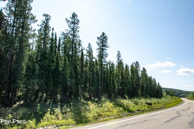
Tumbler Ridge ⬇️

Next stop, we headed for Tumbler Ridge. It was a bit of a long drive, round trip, (almost 3 total hours in Jonah) but oh such a beautiful wildlife corridor. The road is good, and a little like a roller coaster ride, in Jonah. The grades are pretty steep, also, in places; (8 percent grades).
Wheeeee! Loved it.

⬆️ My pic
We came around a curve and there was a Moose, standing next to the road. It was good size, but looked to be young, yet; guessing last years baby. Moose are solitary creatures, so it’s not unusual to see just one.
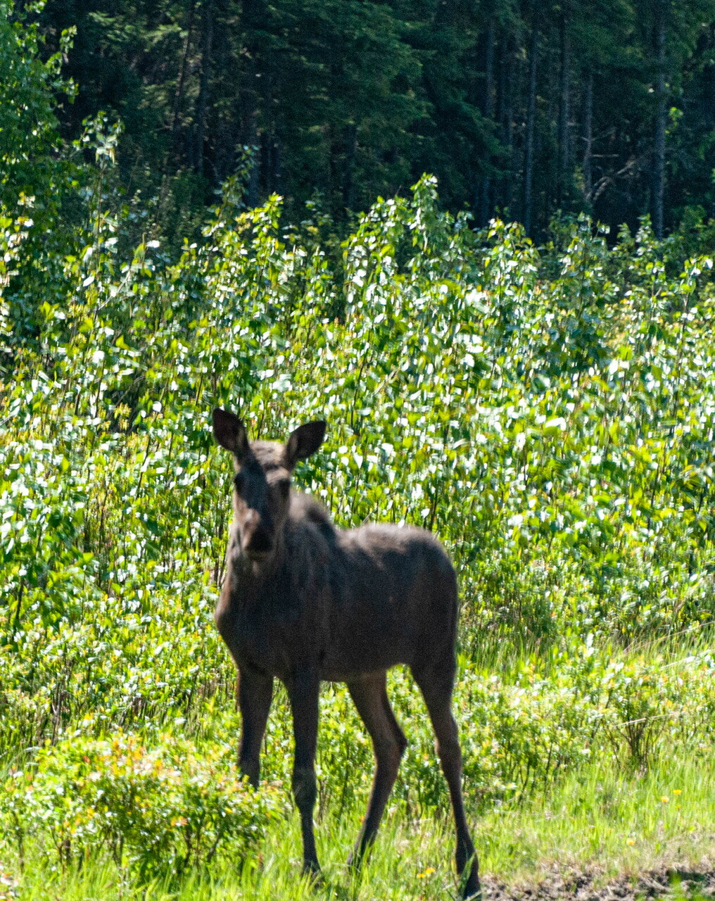
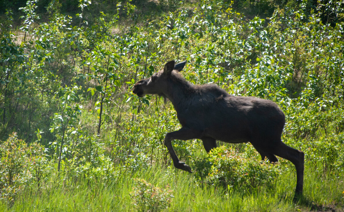
Moose pics by Daryl
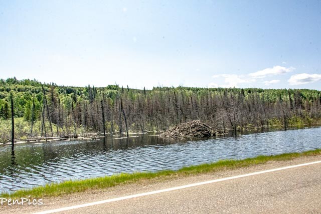
Beaver Dam
We also saw a couple Deer and a really cool Beaver Dam. We didn’t see any Beavers, though.
Our goal on this drive, was to visit this Global Geopark Area; one of five in Canada.
However, it was still just as little too early in the season, by probably only a few days, as the one waterfall we were most interested in seeing, is down a long gravel road. (30 miles). It is called Kinuseo Falls, and it is reported as being taller than Niagara Falls! It’s not near as wide, though. We would have liked to have seen this, since we e been to Niagara Falls, for comparison.
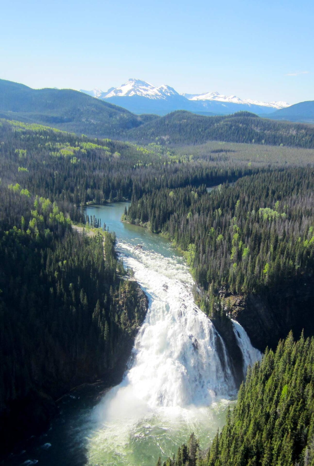
The trail is very short; like an 1/8th of a mile, to the main Lower Viewpoint platform, at the brink of the falls which is disabled-accessible.
The trail to the Upper Viewpoint is steeper and longer, and provides a different view of the falls. This trail carries on for another kilometre (it is sometimes closed), winding down to the river bank downstream.
Once its road gets grated, it’s supposedly not too bad, but a no-go for now, unless you have a four wheel drive, and the road is even open.
Perhaps the road might be ready after June 1st, which is a popular date, for openings in the North. We were unable to visit Moraine Lake, while in Banff National Park, as it was closed till June 1st.
Tumbler Ridge, otherwise, did not have much going on for this short moment in time. We also had zero cell service, (even in the town, using our Canadian SIM data) so it was difficult to figure things out; though we had a tourist map…it lacked the specific detail we needed.
We stopped at the one gas station in town and was going to ask for some detail, but the clerk was Eastern Indian with no English skills.
We thought, no problem, there are many other smaller waterfalls around. We pulled into one such trailheads gravel parking lot, but we both thought the other brought the Bear Spray with us; left back at The Whale.
We are dorks 🤣
During the summer, fall and even winter months (snowmobiling), this place has much to see and do.
For additional information about each Geopark attraction, in Tumbler Ridge, click the link below or visit www.tumblerridgegeopark.ca
************
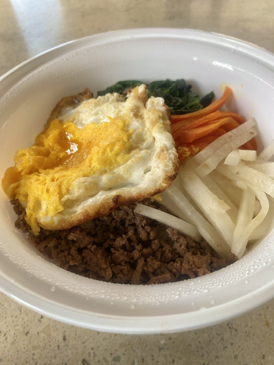
At the end of the day, we went to a Japanese Restaurant called: New Tokyo Sushi in Dawson Creek. Oh my goodness. Very good. They also have a Korean Menu. YAY!
I got BiBimBap. It’s my absolute favorite dish. We travel in South Korea for a month, and I ate it every night!
************
Checking in on the weather, for the AlCan; right at Alaska side….it snowed last night! We hear another front is coming in, the first week in June.
Our arrival date for that area is June 7th…it’s gonna be interesting.
Day 3: June 1st
Our last day was just a busy kind of day, while we still had some wifi signal. I’ve been continuing twerking our travel schedule, for the entire 4.5 months of travel for us. While I have perfected our route on the AlCan we are happy about, we will not be returning the same way, on the AlCan; back to the lower 48. Our last stop in Alaska, we will be in Haines. From there we go south, down into Canada, and head for Oregon.
We checked Jonah’s spare tire to make sure all was well, since the road is very bad, at the end of the AlCan, and I will be driving her, while Daryl drives The Whale.
We also needed to find an auto parts store to try to find a small gas can to put in Jonah, and a few other maintenance items for The Whale. This did NOT include tire chains for The Whale. If there is a real snow storm, as we hear there is, we will just wait it out, till the roads clear.
I’ve also had a chance to wash the bed sheets, as it will be another week of boondocking/drydocking, without campground hook-ups.
One more grocery stop will do it, for a limited amount of food, once again, followed with some more food prep. After we cross the Alaska border, we will have 2.5 months, where food and border crossings will not be a thought!
With limited wifi, once on the road again, just know I will post when I have time and wifi. It might not be till we get to Alaska, and after we catch our breaths, in a weeks time.
Happy Trails to all!
About Us

About Us
Hello and Welcome to our Travel Blog Website, We enjoy writing about our experiences and taking photos of our adventuring along the way. Our names are: Daryl and Pen, but Daryl calls me “Bunny.” We met, quite randomly, whilst both traveling in Thailand with friends. We happened to be in the same travel group, and […]